
What is recorded here
Hachured as an oval shaped mound (diam. c. 25m N-S; 19m E-W) which is indicated as 'Doon' on the latest edition of the OS 6-inch map but not indicated on the first edition of the OS 6-inch map. The monument has not been visited.
Compiled by Caimin O'Brien
Date of upload/revision : 17 November 2011
The monument record does not grant public access. Check the route and ask the landowner before entering private land.
- What survives
- Recorded monument
Places near here
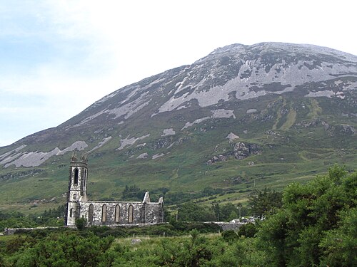 Errigal / An EaragailMountain / peak · 1741 yd
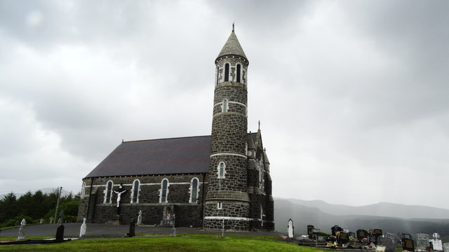 Catholic Church of the Sacred Heartchurch/chapel · 1.3 mi
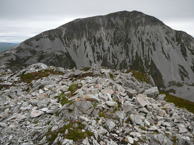 MackoghtMountain / peak · 1.4 mi
 Dermot & Grania's BedArchaeological place · 1.5 mi
 Dunlewey CentreHeritage attraction · 1.6 mi
 Dunlewey Church of IrelandRuins · 1.9 mi
 Dunlewy Early Church EnclosureEcclesiastical enclosure · 2.1 mi
 Maumlack Corrie HeadwallCliff · 3.1 mi
 Astelleen Burn WaterfallWaterfall · 5.0 mi
 Páirc Naisiúnta Ghleann Bheatha - Glenveagh National ParkNature reserve · 5.0 mi
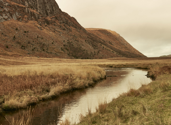 Glenveagh Native Woodlandforest · 5.2 mi
 The Bridge of TearsMemorial · 5.5 mi
Other information
Photo: Credit not shown in the picture search · Rights wording not checked; contact us if this picture should be removed