What is recorded here
The following description is derived from both the published 'Archaeological Inventory of County Louth' (Dublin: Stationery Office, 1986) and the 'Archaeological Survey of County Louth' (Dublin: Stationery Office, 1991). In certain instances the entries have been revised and updated in the light of recent research.
Date of upload/revision: 17 July 2007
There is a strong local tradition of association with St Bridget, but a monastery was probably founded here by SS Forodran and Baithren in the sixth or seventh century. Abbots are known here from AD 721 and their obits are recorded until the end of the ninth century. There are no physical remains visible other than the possible outline preserved in the street-scape. There is a medieval pointed arch of a doorway and a round-headed window in the W tower of the modern parish church (Bradley 1984b, 141). (Gwynn and Hadcock 1988, 35; CLAJ 1944, 282-3)
The monument record does not grant public access. Check the route and ask the landowner before entering private land.
- What survives
- Recorded monument
Places near here
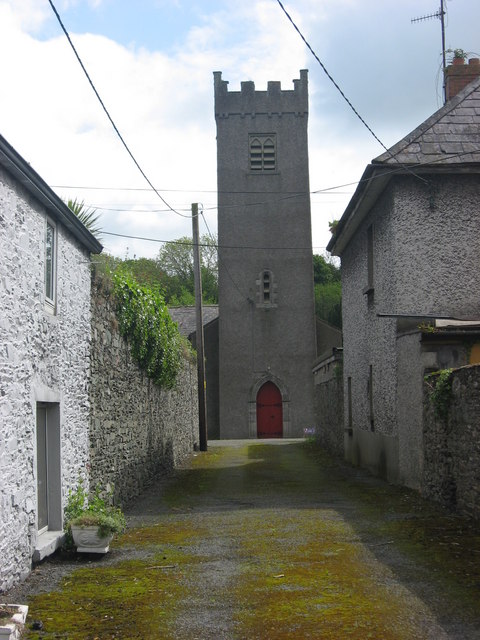 Church of Saint Brethan and Saint Frethan (Dunleer)church/chapel · 13 yd
 Ecclesiastical enclosure in DunleerEcclesiastical enclosure · 27 yd
 Holy well in BattslandHoly well · 87 yd
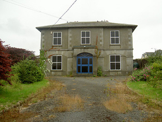 Dunleer Market Housemarket house · 132 yd
 IndicatedCastle, motte · 359 yd
 CastleCastle, unclassified · 764 yd
 Rathescar Lakeside WalkWood · 2.0 mi
 European BeechEuropean Beech · 2.2 mi
 Tullydonnell HillMountain / peak · 2.2 mi
 Graveyard in DysartGraveyard · 2.6 mi
 Graveyard in Richardstown (ardee By., Richardstown Par.)Graveyard · 3.1 mi
 Monasterboice Round TowerHeritage attraction · 3.8 mi