What is recorded here
A holy water stoup associated with a church (WI019-018001-) and graveyard (WI019-018002-). Described in the Ordnance Survey Letters of 1838-40 as 'there is a stone 60 pounds weight, with a small basin, 8 inches [0.2m] diameter and 3 [0.07m] deep cut into one end of it. This was a holy water vase and appears to be of great antiquity. Near this lies part of a square baptismal font (WI019-018003-)' (O'Flanagan 1928, 94).
Date of upload: 28 September 2012.
The monument record does not grant public access. Check the route and ask the landowner before entering private land.
- What survives
- Recorded monument
Places near here
 Church in ruinsChurch · 5 yd
 CastleCastle, ringwork · 332 yd
 IndicatedFairy fort / earthen ringfort · 410 yd
 St. Patricks WellHoly well · 1086 yd
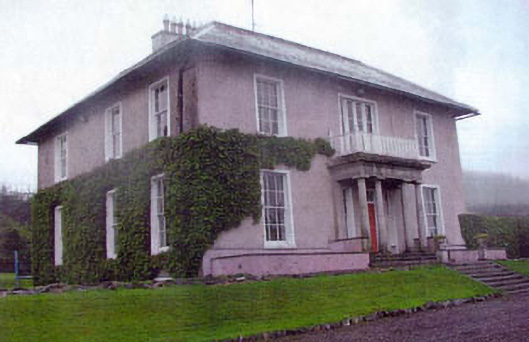 Kiltimon Housecountry house · 1647 yd
 Castle (in Ruins)Castle, ringwork · 1.8 mi
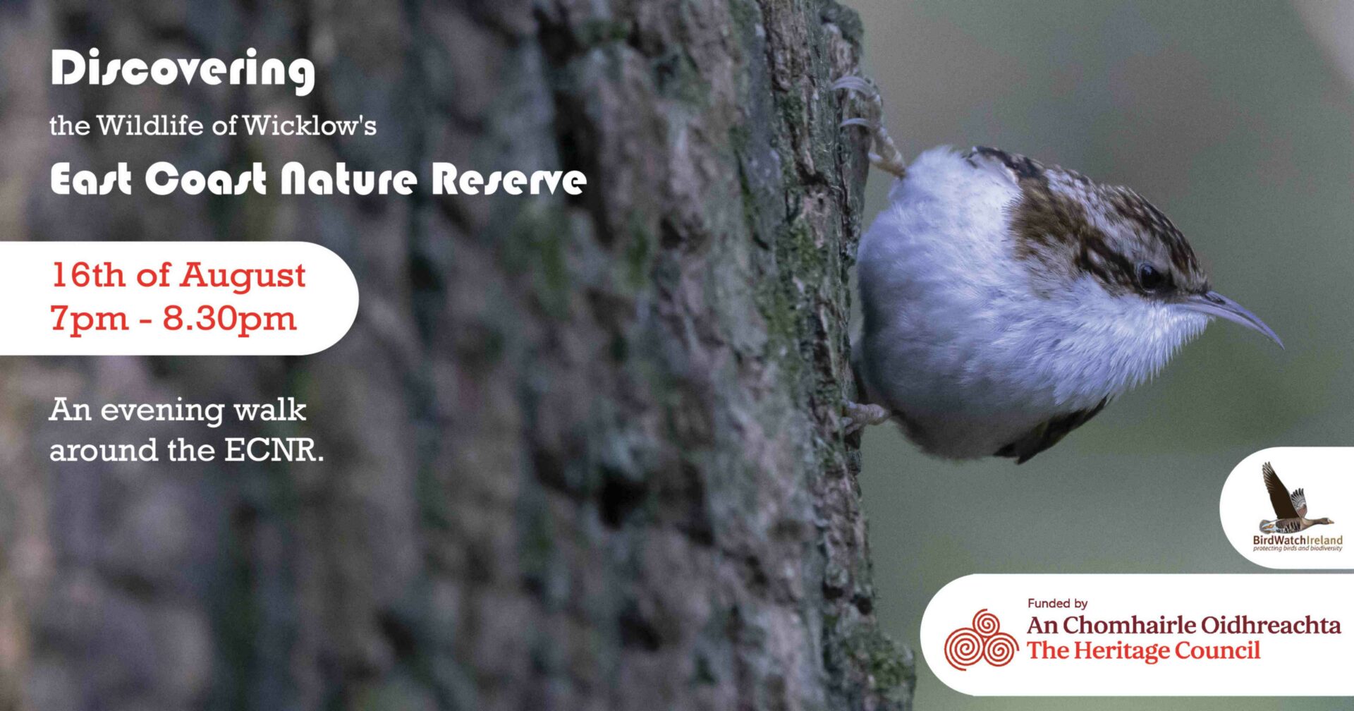 East Coast Nature ReserveNature reserve · 1.9 mi
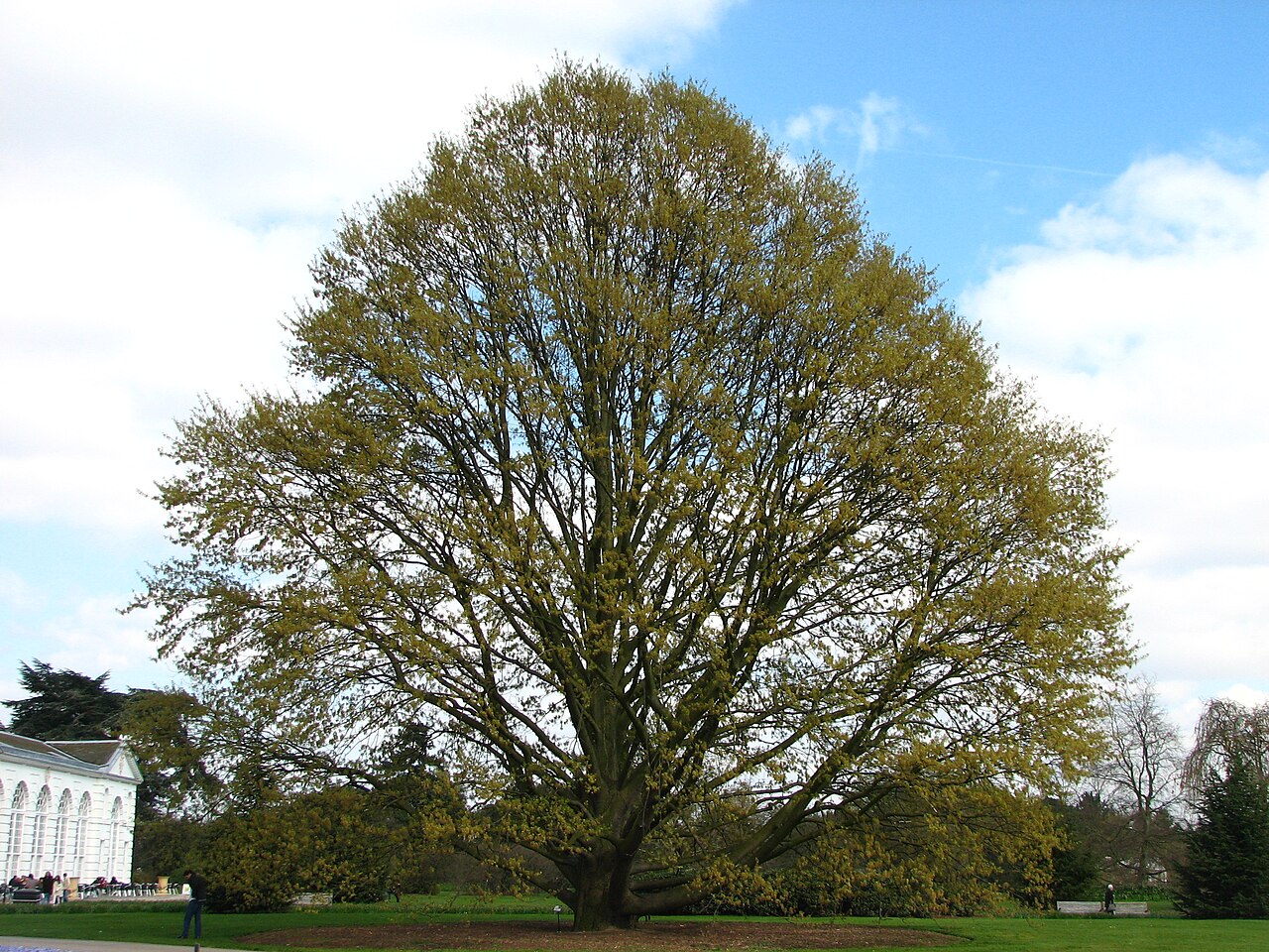 Chestnut-leaved OakChestnut-leaved Oak · 2.9 mi
 Leamore StrandBeach / strand · 3.0 mi
 Devil's Glen WaterfallWaterfall · 3.9 mi
 Glenroe FarmHeritage attraction · 4.7 mi
 Carrick MountainMountain / peak · 5.7 mi