What is recorded here
National Monument No. 353. On the upper hillslopes of Timoney Hills in undulating terrain with a lot of rock outcrop visible. The site is on the land of the former Hutchinson (later Parker-Hutchinson) estate; Timoney Park House was situated 1km to the N. A map published in the Ikerrin Survey depicts 245 standing stones, 70 of which had been removed, and five cairns, which have also been removed (Stout 1984, 19). There are now at least 121 standing stones surviving. A number of standing stones in one field could not be identified due to very heavy gorse growth at the time of visit. Of the 121 standing stones identified, 93 are upstanding and 28 have collapsed. A number of these standing stones are very small (ranging from 0.3-0.8m H).
The above description is derived from 'The Archaeological Inventory of County Tipperary. Vol. 1 - North Tipperary' compiled by Jean Farrelly and Caimin O'Brien (Dublin: Stationery Office, 2002). In certain instances the entries have been revised and updated in the light of recent research.
Date of upload/revision: 22 September 2008
The monument record does not grant public access. Check the route and ask the landowner before entering private land.
- What survives
- Recorded monument
Places near here
 Fulacht fia in Cullaun,timoney HillsFulacht fia · 371 yd
 Enclosure in Timoney HillsEnclosure · 458 yd
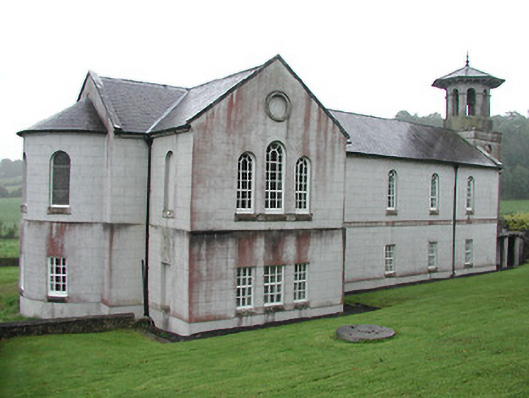 Christ Church (Corbally)mill (water) · 1023 yd
 The Rectoryrectory/glebe/vicarage/curate's house · 1104 yd
 Carricknasrock WoodWood · 1530 yd
 Black HillMountain / peak · 1.3 mi
 Castle (in Ruins)Bawn · 1.8 mi
 Rockforest Ho.Castle, unclassified · 2.0 mi
 European BeechEuropean Beech · 3.3 mi
 Saint Kieran's WellSpring · 4.6 mi
 Roscrea Petty Sessions HouseHeritage attraction · 4.8 mi
 Millennium GardenMemorial · 5.1 mi