What is recorded here
On the external bank in the W of a possible enclosure, on a NW-facing slope in rolling pasture. Sub-circular area (c. 2.1m) defined by at least 6 upright stones from N to SE and by a taller standing stone in the W.
The monument record does not grant public access. Check the route and ask the landowner before entering private land.
- What survives
- Recorded monument
Places near here
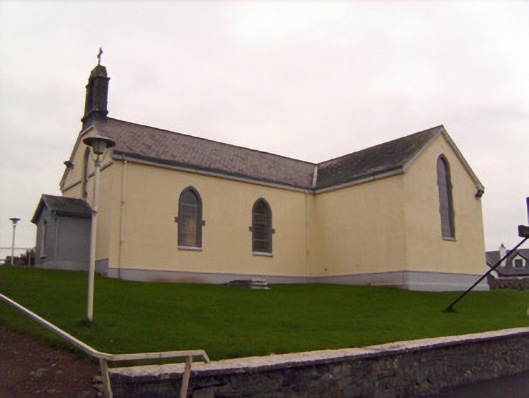 Saint Patrick's Catholic Churchchurch/chapel · 349 yd
 MillMill, unclassified · 783 yd
 Lickadoon Castle (in ruins)Castle, tower house · 876 yd
 Not indicated, 394 ft. ODSettlement cluster · 1496 yd
 Burial ground in KnockeaBurial ground · 1504 yd
 Bawn in Raheen (clanwilliam By., Roxborough Ed)Bawn · 1.2 mi
 ToberauillinSpring · 1.9 mi
 Campus MapVisitor information · 4.5 mi
 Visitor CentreVisitor information · 4.5 mi
 Fountain SculptureHeritage attraction · 4.5 mi
 Graveyard in AbingtonGraveyard · 6.7 mi
 Lickadoon Castlecountry house · 1440 yd