Places near here
Photo credits
- National Inventory of Architectural Heritage
- Kmcnamee, Wikimedia Commons · CC BY-SA 4.0
- Golfing in Ireland; photographer not stated, Source publisher
- Philip Halling, Geograph · CC BY-SA 2.0
- Mike Searle, Wikimedia Commons · CC BY-SA 2.0
- Wikimedia Commons contributor · Public domain
- Created by Kglavin Modified Aug 2007 by Mike Christie, Wikimedia Commons · CC BY-SA 3.0
- Roger McLachlan, Wikimedia Commons · CC BY-SA 2.0
- N Chadwick, Geograph · CC BY-SA 2.0
Explorer Tom Annes Fort in Creeves is straddling a rise like it owns the view, which sparks family feuds. The bank is worn down…
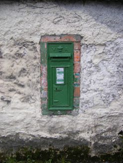 post box760 yd
Explorer Tom That post box in Creeves was designed by a mother-in-law who thought the Queen’s monogram needed to be bigger to show…
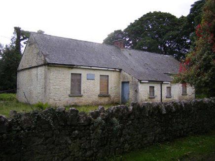 Nutgrove National SchoolSchool · 985 yd
Explorer Tom Nutgrove National School in Mullagh has two doors, which confuses the local sheep who just want to get in for a snack.…
 St. Kieran's GAA pitchGAA ground · 2.1 mi
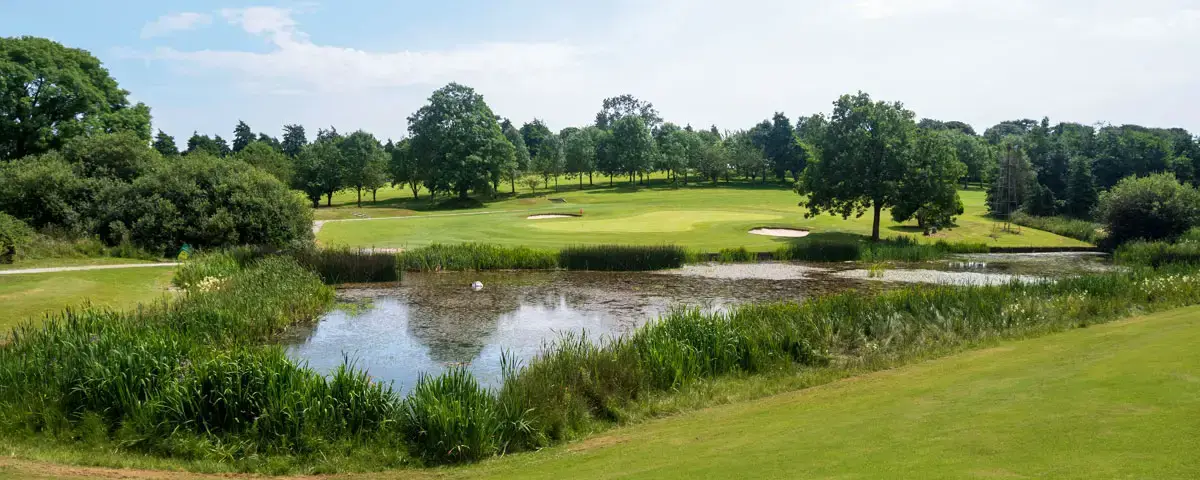 Newcastle West Golf ClubGolf course · 2.9 mi
 Dysert Castle (in ruins)Castle, tower house · 3.2 mi
Explorer Tom Dysert Castle is looking particularly smug today. The local sheep have voted it the most confusing building in the…
 Dysert CastleCastle · 3.2 mi
Explorer Tom Dysert Castle in County Limerick hosted a dance once where someone tried to juggle flaming torches and ended up setting…
St. Kieran's WellSpring · 3.2 miExplorer Tom St. Kieran's Well in County Limerick appears on maps as 'Kieran' because the original cartographer had terrible…
 Askeaton CastleHeritage attraction · 3.5 mi
Explorer Tom Askeaton Castle in County Limerick claims to hide a royal treasure, but I bet it’s just an old biscuit tin with sticky…
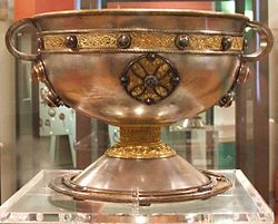 Ardagh FortArchaeological place · 4.9 mi
Explorer Tom Ardagh Fort got the name wrong on the map because the cartographer was too busy thinking about lunch. It stands there…
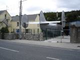 Foynes Flying Boat & Maritime MuseumMuseum · 5.1 mi
Explorer Tom Foynes Flying Boat and Maritime Museum stands where giant aircraft once arrived on the Shannon Estuary, carrying…
 Foynes Island ViewpointViewpoint · 5.3 mi
Explorer Tom Foynes Island Viewpoint in Limerick started because two lads made a bet in the pub that they could spot a ship before…
More archaeology and monuments in County Limerick · All of County Limerick

What do you know about this place?Tap to add a comment or ask a question