
What is recorded here
In pasture, straddling W end of low rise in gently undulating terrain. Circular area (diam. 31m) enclosed by earth-and-stone bank (int. H 0.7m; ext. H 2.55m) with remains of stone facing along base of external face. External bank height varies according to fall away in terrain, being greatest at W. Entrance (Wth 4.9m) at NE. Bank worn down by cattle at SE. Level interior heavily masked by vegetation overgrowth. According to local tradition fort gets its name 'from a Lady named Anne who got a stone wall built around it' (OSNB Doon to Kilbreedy, 108).
Compiled by: Denis Power
Date of upload: 26 August 2011
The monument record does not grant public access. Check the route and ask the landowner before entering private land.
- What survives
- Recorded monument
Places near here
 Anne's FortArchaeological place · 10 yd
 post boxpost box · 757 yd
 Lismeale - HachuredFairy fort / earthen ringfort · 788 yd
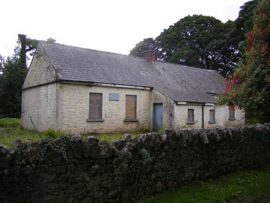 Nutgrove National Schoolschool · 982 yd
 CastleCastle, unclassified · 1.5 mi
 Lismakeery Castle (in ruins)Castle, tower house · 1.6 mi
 St. Kieran's WellSpring · 3.2 mi
 TobernablahySpring · 3.4 mi
 Askeaton CastleHeritage attraction · 3.5 mi
 Holly IslandIslet · 4.1 mi
 Foynes Flying Boat & Maritime MuseumMuseum · 5.1 mi
 Gammarel PointHeadland · 5.3 mi
Other information
Photo: Credit not shown in the picture search · Rights wording not checked; contact us if this picture should be removed