
What is recorded here
In rough pasture, atop low limestone hillock. Roughly circular area (diam. c. 36m) defined by scarped edge (H 0.75m; Wth 6.6m); entire enclosure is covered in dense overgrowth of briars and thorn bushes, with scarp only accessible at SE and NNW.
Compiled by: Denis Power
Date of upload: 26 August 2011
The monument record does not grant public access. Check the route and ask the landowner before entering private land.
- What survives
- Recorded monument
Places near here
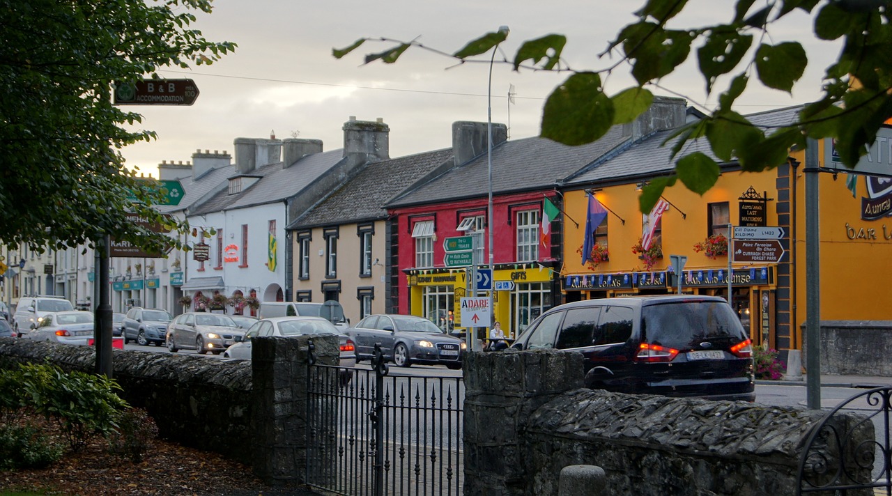 Fulacht fia in Creeves (connello Lower By.)Fulacht fia · 742 yd
 Anne's FortArchaeological place · 779 yd
 post boxpost box · 1368 yd
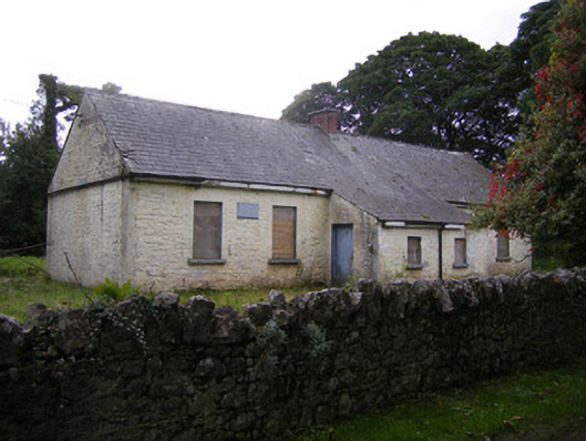 Nutgrove National Schoolschool · 1583 yd
 Lismakeery Castle (in ruins)Castle, tower house · 1.2 mi
 Milltown Castle (in ruins)Castle, tower house · 1.8 mi
 Askeaton CastleHeritage attraction · 3.0 mi
 TobernablahySpring · 3.4 mi
 St. Kieran's WellSpring · 3.4 mi
 Holly IslandIslet · 3.8 mi
 Foynes Flying Boat & Maritime MuseumMuseum · 5.3 mi
 Gammarel PointHeadland · 5.3 mi
Other information
Photo: Credit not shown in the picture search · Rights wording not checked; contact us if this picture should be removed