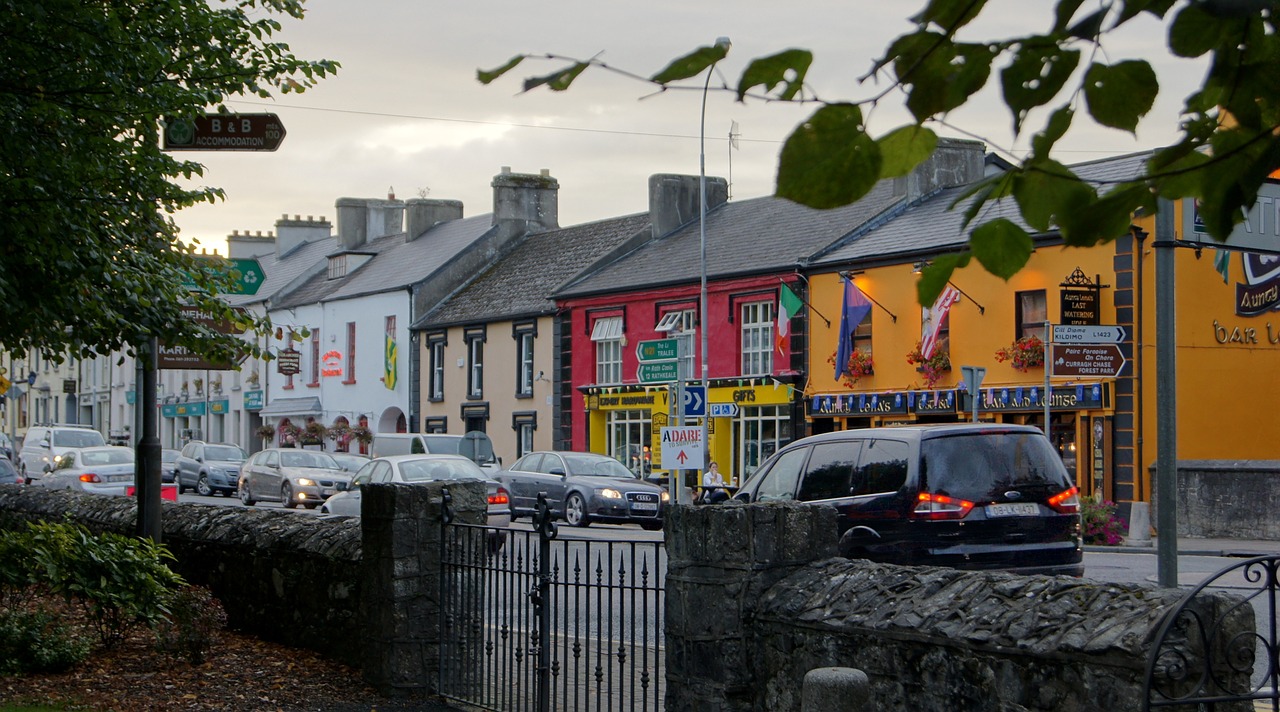
What is recorded here
In low-lying rough pasture, on the W edge of a small pond in an area of outcropping limestone. A circular mound of burnt material (diam. 8.3m; H 1.05m). The mound is best preserved along its E side where it borders the pond. It lies 10m SE of another fulacht fia (LI019-262---).
Compiled by: Denis Power
Date of upload: 26 August 2011
The monument record does not grant public access. Check the route and ask the landowner before entering private land.
- What survives
- Recorded monument
Places near here
 Lismeale - HachuredFairy fort / earthen ringfort · 742 yd
 IndicatedEnclosure · 782 yd
 post boxpost box · 1192 yd
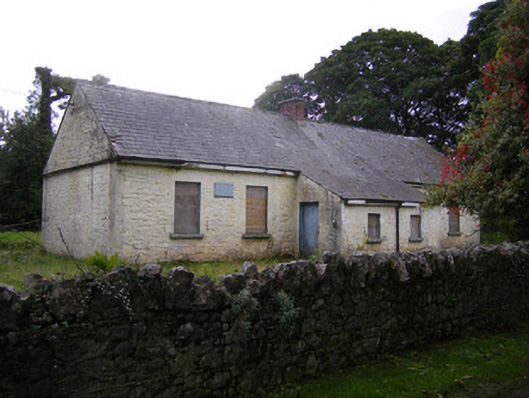 Nutgrove National Schoolschool · 1341 yd
 Lismakeery Castle (in ruins)Castle, tower house · 1.2 mi
 CastleCastle, unclassified · 1.7 mi
 Askeaton CastleHeritage attraction · 2.9 mi
 Holly IslandIslet · 3.5 mi
 St. Kieran's WellSpring · 3.8 mi
 TobernablahySpring · 3.8 mi
 Foynes Flying Boat & Maritime MuseumMuseum · 4.8 mi
 Gammarel PointHeadland · 4.9 mi
Other information
Photo: Credit not shown in the picture search · Rights wording not checked; contact us if this picture should be removed