What is recorded here
Annagh Castle stands on a hillock in Moylagh parish, County Meath, where grass now swallows a twenty-metre oblong structure and a wide enclosed yard. It appeared on parish maps before barony records, suggesting local people knew the shape before distant surveyors cared. Robert Nugent owned nearby land in the mid-seventeenth century, yet the castle belonged elsewhere, reminding us that ownership and memory often trace different lines.
A castle at Annagh (43) in Moylagh parish is not depicted on the Down Survey (1656-8) barony map of Fore but is on the parish map (http://downsurvey.tcd.ie/). According to the Civil Survey (1654-6) Robert Nugent of Portluman, Co. Westmeath, owned almost a hundred acres there in 1640 but the castle was not on that property (Simington 1940, 267). It is depicted as an oblong building (dims c. 20m NW-SE; c. 10m NE-SW) with a projection at the N end of the W side on the 1836 ed. of the OS 6-inch map. The castle is located on top of a hillock. The grass-covered remains of a building (dims c. 20m NW-SE; W c. 7m NE-SW) survive with a subrecatngular enclosure (dims c. 40m NW-SE; c. 38m NE-SW) defined by grass-covered banks or scarps (at SW: Wth 6m; H 1.4m) is attached to the W. The deserted settlement (ME014-027001-) is located c. 40m to the S.
The above description is derived from the published 'Archaeological Inventory of County Meath' (Dublin: Stationery Office, 1987). In certain instances the entries have been revised and updated in the light of recent research.
Compiled by: Michael Moore
Date of revision: 8 June 2016
Amended: 15 December 2022
Annagh Castle was held by Robert Nugent in the mid-17th century, as recorded in the Civil Survey of 1654–56. Its inclusion in historical land surveys highlights its local significance during the turbulent period of Confederate Ireland and Cromwellian conquest.
The monument record does not grant public access. Check the route and ask the landowner before entering private land.
- What survives
- Recorded monument
Places near here
 Settlement desertedSettlement deserted, medieval · 66 yd
 EnclosureEnclosure, large enclosure · 570 yd
 TemplefanumChapel · 1500 yd
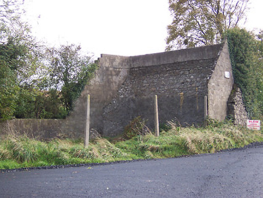 handball alleyhandball alley · 1619 yd
 European BeechEuropean Beech · 1.0 mi
 Hilltown Castle (in ruins)Castle, tower house · 1.4 mi
 Fore AbbeyHeritage attraction · 1.9 mi
 Ben of ForeMountain / peak · 2.1 mi
 Moat CastleCastle, unclassified · 2.2 mi
 Seafin HillMountain / peak · 2.3 mi
 Mullaghmeen ForestPicnic place · 3.2 mi
 European YewEuropean Yew · 3.7 mi