What is recorded here
Anglesea Bridge in Donnybrook replaced a four-arched bridge whose portrait survives from 1698. An awkward family arrangement: the new bridge does all the work while the old one hangs about in a drawing, looking as though standards have slipped.
The present bridge (1832) over the river Dodder at Donnybrook occupies thesite of a 17th century, four-arched stone bridge which is depicted in adrawing by Francis Place dated 1698 (Maher 1932, 4-5; Hegarty 1939, 60).
From the National Monuments Service (Archaeological Survey of Ireland) record DU022-082003
The monument record does not grant public access. Check the route and ask the landowner before entering private land.
- What survives
- Recorded monument
Places near here
Photo credits
- Pymouss44, Wikimedia Commons · CC BY-SA 3.0
- A.-K. D., Wikimedia Commons · CC BY-SA 4.0
- JP, Geograph · CC BY-SA 2.0
- Димитър Найденов / Dimìtar Nàydenov, Wikimedia Commons · CC BY-SA 3.0
- Architecture of Dublin, Wikimedia Commons · Public domain
- Red Agenda, Wikimedia Commons · CC BY 2.0
- Weston St. John Joyce, Wikimedia Commons · Public domain
- Sarah777 at en.wikipedia, Wikimedia Commons · Public domain
- Joseph Mischyshyn, Wikimedia Commons · CC BY-SA 2.0
The Arthur Morrison MonumentMonument · 59 ydFirst All Ireland Football FinalMemorial · 164 ydTree of HopeMemorial · 244 yd Hybrid strawberry tree660 ydSaint Broc's WellSpring · 754 ydClonskeagh BridgeBridge · 855 ydHybrid poplar997 ydClonskeagh CastleCastle · 1400 yddeath of Brian MurphyDeath · 1.0 miBattle of RathminesMajor battlefield · 1.1 miSandymount StrandBeach / strand · 1.2 miGrand CanalLock · 1.2 mi
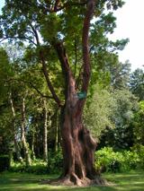 Hybrid strawberry tree660 yd
 Saint Broc's WellSpring · 754 yd
 Clonskeagh BridgeBridge · 855 yd
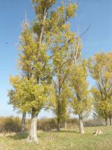 Hybrid poplar997 yd
 Clonskeagh CastleCastle · 1400 yd
 death of Brian MurphyDeath · 1.0 mi
 Battle of RathminesMajor battlefield · 1.1 mi
 Sandymount StrandBeach / strand · 1.2 mi
 Grand CanalLock · 1.2 mi
More historic places in County Dublin · All of County Dublin
What do you know about this place?