
What is recorded here
Situated on the W facing slope of Knockastia, in scrub. Holy well, (WM031-014002-) annotated ‘Toberavill’ lies c. 45m to WSW. Depicted on the revised 1910 ed. OS 25-inch map as a rectangular-shaped building (approx. dims. 10m NE-SW; 6m NW-SE) annotated ‘Ancient Chapel (in Ruins)’. Monument described in 1957 as not located due to dense cover of scrub. Monument is obscured today by dense cover of scrub on Digital Globe aerial photography and is located at the E edge of a quarry.
Compiled by Alison McQueen, Vera Rahilly and Caimin O’Brien.
Date of upload: 12 November 2019
A local church or high cross; wider significance not recorded.
The monument record does not grant public access. Check the route and ask the landowner before entering private land.
- What survives
- Recorded monument
Places near here
 ToberavillHoly well · 53 yd
 KnockastiaMountain / peak · 429 yd
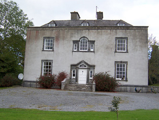 Oldcourt Housecountry house · 704 yd
 Old Court, Rose MountHouse, 17th century · 707 yd
 Japanese pagoda treeJapanese pagoda tree · 721 yd
 Partially hachuredFairy fort / earthen ringfort · 865 yd
 Bishopstown Castle in ruinsCastle, unclassified · 1.0 mi
 CastleCastle, ringwork · 1.5 mi
 Sam's ParkForest · 2.0 mi
 Moate HillMountain / peak · 4.6 mi
 Charles BianconiMemorial · 4.6 mi
 The Bob Traynor GalleryGallery · 4.7 mi
Other information
Photo: Credit not shown in the picture search · Rights wording not checked; contact us if this picture should be removed