What is recorded here
From the Irish Caves Database, University of Bristol Spelæological Society record 2109
Places near here
Photo credits
- Maker not stated on source page, ca.pinterest.com
- Herbert Ortner, Wikimedia Commons · CC BY 3.0
- Anne Burgess, Geograph · CC BY-SA 2.0
- Maker not stated on source page, www.flickr.com
- N Chadwick, Wikimedia Commons · CC BY-SA 2.0
- Ronan Mac Giollapharaic, Wikimedia Commons · CC BY-SA 4.0
- Maker not stated on source page, commons.wikimedia.org
- Maker not stated on source page, www.alamy.com
 Stone trough in Cill MhuirbhighStone trough · 897 yd
Explorer Tom Stone trough in Cill Mhuirbhigh is a stone bathtub that’s been waiting for a bath since the Bronze Age. It’s got more…
 Dún AonghasaNature reserve · 940 yd
Explorer Tom You came all this way for a fort? Dún Aonghasa answers with a cliff edge on Inis Mór, about 100 metres above the…
The Fir Bolg: Dún AonghasaLegend location · 940 ydExplorer Tom The Fir Bolg: Dún Aonghasa has a mighty stone fort and a name tied to their leader Aonghas. If I had a fort named after…
 Kilmurvey BeachBeach / strand · 1006 yd
Explorer Tom Kilmurvey Beach curves along the north coast of Inis Mór, offering pale sand, clear Atlantic water and an island view…
 Bullaun stone in Cill MhuirbhighBullaun stone · 1156 yd
Explorer Tom Bullaun stone in Cill Mhuirbhigh makes a sound at night that I’m pretty sure is just the wind, but you’d swear it’s…
 Dún EoghanachtaVisitor attraction · 1401 yd
Explorer Tom Dún Eoghanachta is probably why map makers keep getting it wrong; it just shifts position slightly whenever they aren't…
 Dun OnaghtFairy fort / stone ringfort · 1402 yd
Explorer Tom Dun Onaght has a massive rampart that looks like a stone donut. It's got two terraces and steps, which is fancy for a…
 Teampal MacDuaghHeritage attraction · 1457 yd
Explorer Tom Teampal MacDuagh in County Galway is being very serious about its history, but I suspect the local rabbits are using it…
 Pillar stone in Cill MhuirbhighPillar stone · 1475 yd
Explorer Tom Pillar stone in Cill Mhuirbhigh is basically a giant scratching post for confused cattle, standing near a church called…
 TemplenaneeveChurch · 1606 yd
Explorer Tom Templenaneeve in Cill Éinne is hiding a treasure that is definitely a biscuit tin from 1952. It's just lower portions…
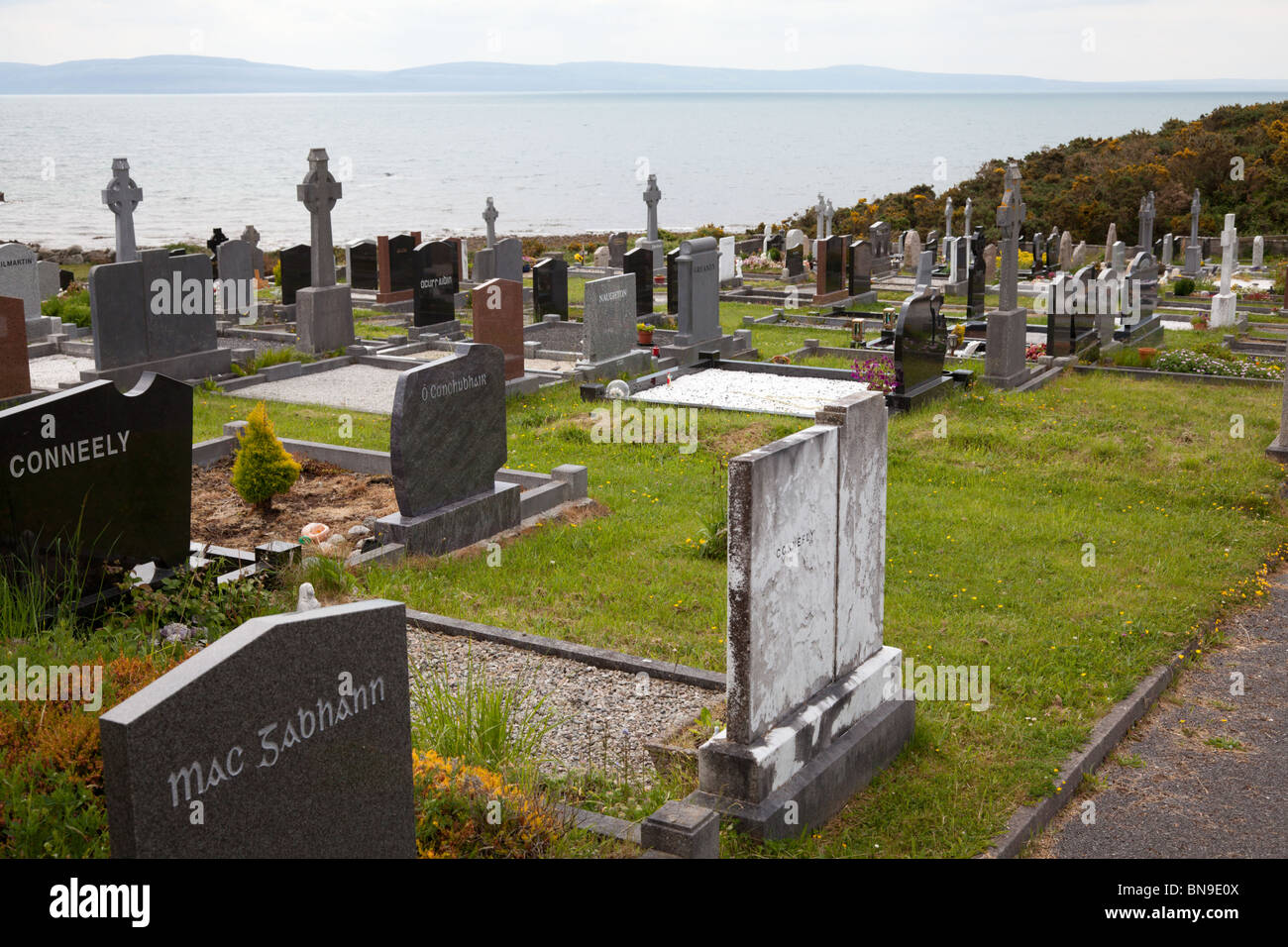 Mapped cemeteryCemetery · 1.1 mi
Explorer Tom This mapped cemetery in Galway does absolutely nothing when nobody is looking, which is impressive for a place that…
 Church in Eochaill (bar. Árainn)Church · 1.3 mi
Explorer Tom Church in Eochaill would review its visitors as 'adequate, but lacking in historical context'. It’s been standing there…
More caves in County Galway · All of County Galway

What do you know about this place?Tap to add a comment or ask a question