
What is recorded here
From OpenStreetMap (© OpenStreetMap contributors) n3791505930
Places near here
Photo credits
- Maker not stated on source page, www.tripadvisor.ru
- Joseph Mischyshyn, Geograph · CC BY-SA 2.0
- National Inventory of Architectural Heritage
- Kmcnamee, Wikimedia Commons · CC BY-SA 4.0
- Rossographer, Wikimedia Commons · CC BY-SA 2.0
- Kenneth Allen, Wikimedia Commons
- Maker not stated on source page, ru.pinterest.com
- Maker not stated on source page, www.discoverireland.ie
- Maker not stated on source page, www.youtube.com
- Robert Bone, Wikimedia Commons · CC BY-SA 2.0
- Colin Park, Wikimedia Commons
 The Glen HotelHotel · 978 yd
Explorer Tom The Glen Hotel in County Donegal is hiding behind hills, probably plotting something cheeky with the locals. The…
 EarlysPub · 1068 yd
Explorer Tom Earlys in Moville hosted Daniel O'Donnell, so tell them Tom wanted to sing along even if it was truly off-key. Pick a…
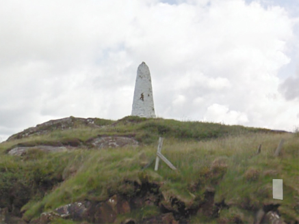 An Staca Mór [Stackamore]Beacon · 1320 yd
Explorer Tom An Staca Mór [Stackamore] is a white stone navigation beacon near the channel to Arranmore. It may date from around…
 Gairmscoil McDiarmada, Arranmore GAAGAA ground · 1433 yd
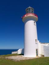 Arranmore / Árainn MhórIsland · 1513 yd
Explorer Tom Árainn Mhór is Donegal's largest island, and it has room for several days' worth of curiosity in one short ferry…
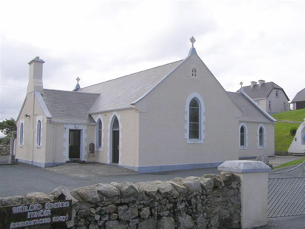 Teach Pobail Naomh Cróine [Saint Crone's Catholic Church]Church/chapel · 1713 yd
Explorer Tom Teach Pobail Naomh Cróine has a map label that calls it Saint Crome’s, which sounds like a very confused wizard. I…
 Trá an ChaisilBeach / strand · 1752 yd
Explorer Tom Trá an Chaisil on Arranmore has a cracking trick: it puts a small island shore beside a story that reaches across…
 Mapped cemeteryCemetery · 1.0 mi
Explorer Tom Mapped cemetery complains to the council about how the grass is always too short on the left side because it likes…
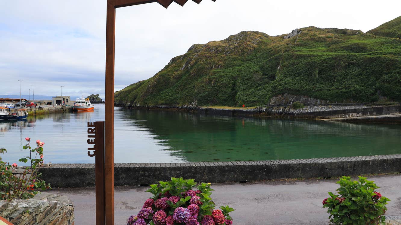 Oileán an GhamhnaIslet · 1.0 mi
Explorer Tom Oileán an Ghamhna is a tiny Donegal islet that absolutely refuses to grow up, hiding under rocks like it’s playing a…
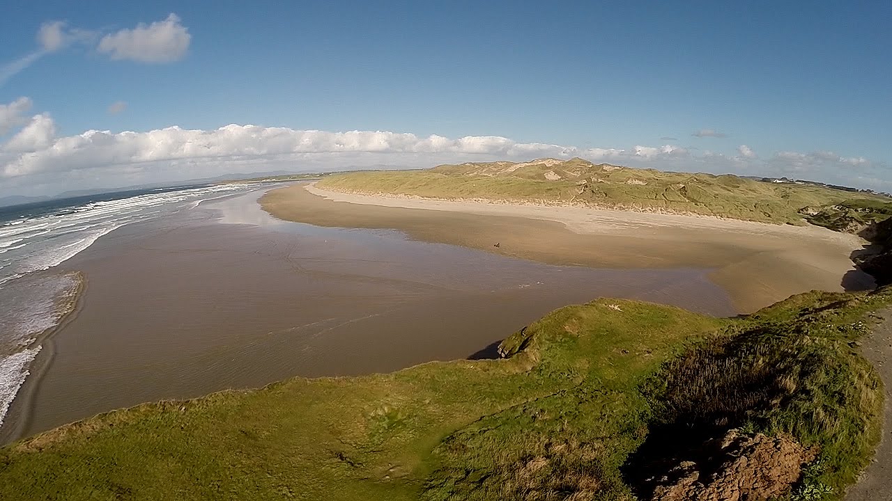 An Trá DheargBeach / strand · 1.1 mi
Explorer Tom An Trá Dhearg means Red Strand in Irish, which map makers probably thought was a nice touch until they realized how…
 Cairn on Cnoc an IolairPublicly named cairn · 1.1 mi
Explorer Tom Cairn on Cnoc an Iolair sits on a place that sounds like it’s waiting for a giant eagle to land. Maybe the stones are…
 Rinrawros Point / Rinn RamhroisHeadland · 2.7 mi
Explorer Tom Rinrawros Point, or Rinn Ramhrois, is the western island edge where Árainn Mhór gives the Atlantic its full attention…
More mountains and hills in County Donegal · All of County Donegal

What do you know about this place?Tap to add a comment or ask a question