What is recorded here
An Claondoire Burial Cairn stands above Lough Aghnish in County Donegal, marking a steep hill where people placed dead before recorded history. Its large stones and boulders still crowd the summit, while bracken and moss hide much of the work from casual eyes. The view stretches across water, bog and distant mountain, suggesting that the living chose this ridge because it faced the whole world.
Crowning a prominent, steep-sided hill rising from an expanse of boggy ground on the NE shore of Aghnish Lough. A promontory fort (DG056-002----) occupies a small promontory jutting into the NW end of the lough. The lough occupies a natural hollow bordered at SE−SW by the steeply rising slopes of a high rocky, heather and sedge-covered ridge. From the cairn, the lough dominates the view to W; to NE the boggy ground gives way to views of a sea inlet and coastal lowlands in the middle distance, with the summit of Errigal Mountain visible on the far horizon to ENE.
A substantial oblong or roughly oval cairn (22-23m N−S; c. 15m E-S; H 1-1.5m) of loosely heaped, large stones and boulders, its shape dictated by the available space on the hill summit. It appears to be set in by c. 0.5-1m from the break of slope of the summit on the N and E side but merges with the slope at S and W. The outer edges of the cairn and portions of the SW and W slopes are cloaked in mossy sod and heather, and the cairn is concealed by bracken for much of the year.
The cairn has been disturbed in the past; a number of subcircular or irregular-shaped depressions (diam. 1-2m; D 0.4-0.5m) are visible in its surface, and on the NW side cairn stones have been used to build a low ‘wall’ (Wth 0.4m; H 0.5m) defining a small roughly circular space (max. dims. 2.5m) open to W.
Notified to NMS by Michael Gibbons
DG056-004----_01 Viewed from NE
DG056-004----_02 View over lake from cairn
DG056-004----_03.JPG Small 'enclosure' built into NW edge of cairn
DG056-004----_04.JPG Disturbance at S end of cairn
Compiled by: Jane O'Shaughnessy
Date of upload: 5 May 2022
Neolithic burial cairn, dating to approximately 3000–2500 BCE. Its location on a prominent hill suggests ritual or ceremonial significance, possibly linked to early agricultural communities in the region.
The monument record does not grant public access. Check the route and ask the landowner before entering private land.
- What survives
- Recorded monument
Places near here
 Lough Aghnish Promontory FortPromontory fort, inland · 522 yd
 CroaghnamaddyMountain / peak · 1614 yd
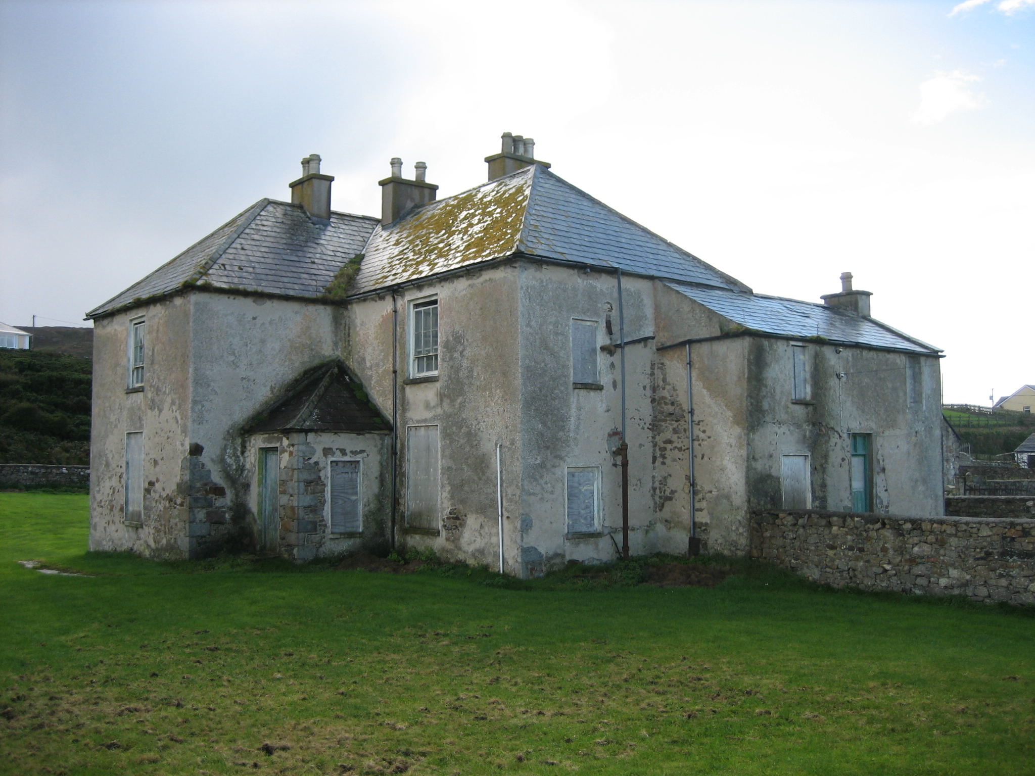 The Rectoryrectory/glebe/vicarage/curate's house · 1.1 mi
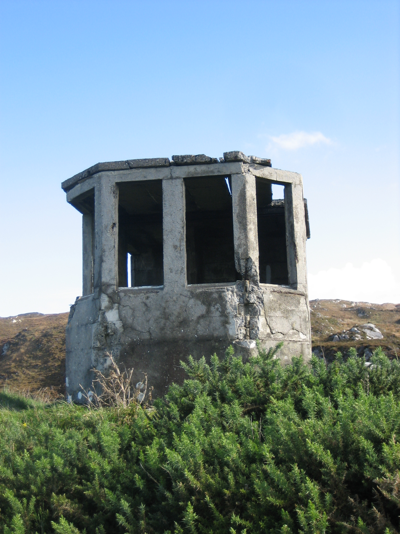 LOP 74watch tower · 1.3 mi
 Enclosure in An MachaireEnclosure · 1.6 mi
 DooeyOfficial bathing water · 3.4 mi
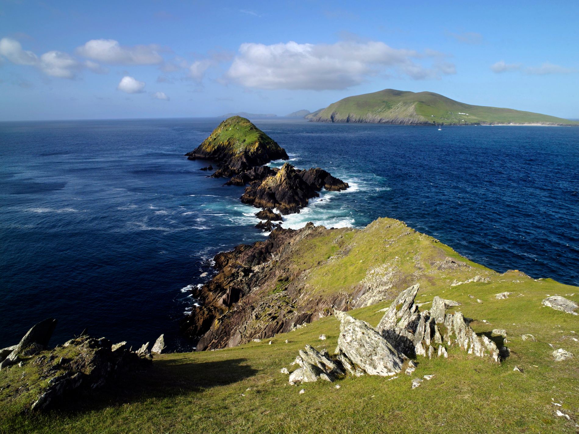 Brush IslandsIslet · 3.8 mi
 An tOileán LeathanIslet · 3.9 mi
 Drumlaghdrid HillMountain / peak · 4.1 mi
 Hook Point / Pointe an DuáinHeadland · 4.2 mi
 Trá an ChaisilBeach / strand · 4.9 mi
 Bonny Glen WoodForest recreation place · 6.1 mi