What is recorded here
Within the SE quadrant of a cashel (GA120-028005-). Named 'Altar' on the OS 6-inch maps, this leacht (2m NW-SE; 1.7m NE-SW; H 0.8m) is defined by a roughly rectangular pile of drystone masonry. Slabs protruding above the sod to the E and S of it may mark possible graves (GA120-028008-) (information from Dr J. Waddell).
Compiled by: Olive Alcock
Date of upload: 22 January 2016
Linked to early Christian tradition, the altar on Inis Oírr may have been used for ritual or ecclesiastical purposes, reflecting the island's historical association with monastic activity. Its positioning within a cashel suggests a possible connection to both spiritual and defensive functions in the early medieval period.
The monument record does not grant public access. Check the route and ask the landowner before entering private land.
- What survives
- Recorded monument
Places near here
 Creggankeel FortFairy fort / stone ringfort · 1 yd
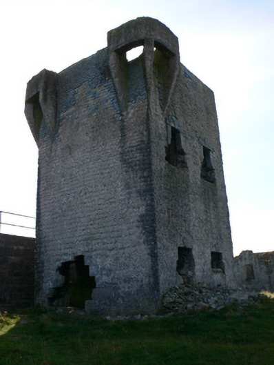 signal towersignal tower · 448 yd
 Caisleán Uí BhriainCastle · 585 yd
 IndicatedFairy fort / stone ringfort · 598 yd
 Inis OírrIsland · 728 yd
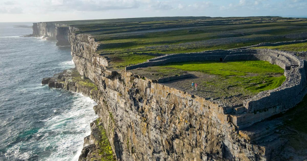 Penitential station in Inis OírrPenitential station · 771 yd
 Cnoc RaithníHeritage attraction · 1000 yd
 Lár na TráBeach / strand · 1050 yd
 MV PlassyHeritage attraction · 1110 yd
 Port na CilleBeach / strand · 1160 yd
 Gob na CoraHeadland · 1269 yd
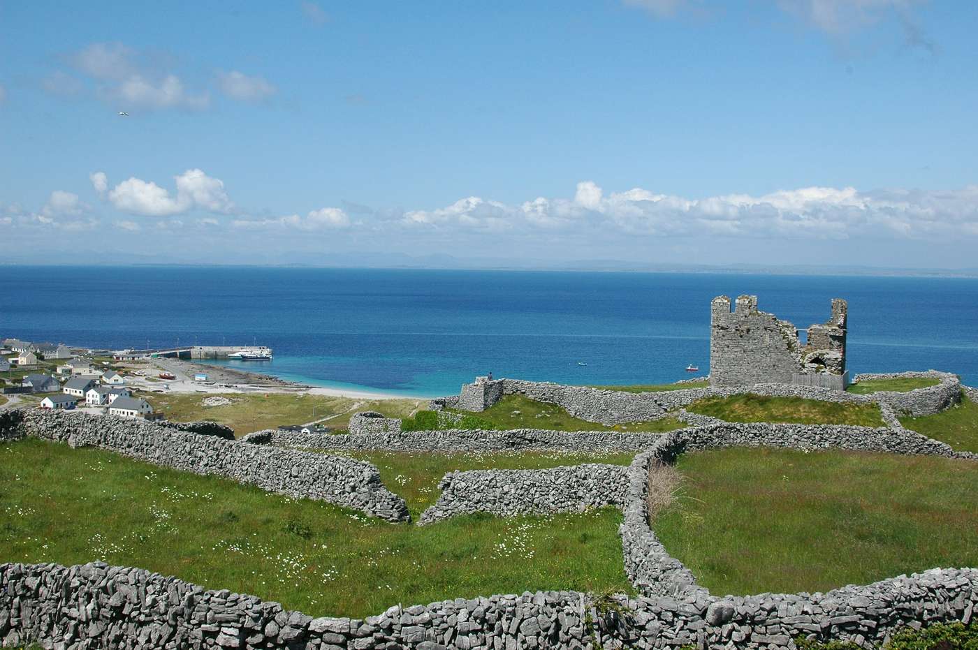 FárdorasHeadland · 1570 yd