
What is recorded here
Situated on the E bank of the Ballymeeny River, in the base of a steep-sided, wooded ravine. The altar consists of a small flat rock outcrop (1.4m E-W; 1m N-S; H 1m) at the base of a N-facing vertical stone cliff. It is adjacent to a natural pool in the river, traditionally used as a holy well (SL011-058002-) associated with St Farannan. There is a cairn (SL011-058----), said to be the saint’s grave, on the ridge top bordering the E side of the ravine c. 15m to S, and another holy well (SL011-057----) located on the steep W slope of the ravine c. 50m to NW.
Compiled by: Patrick F. O'Donovan
Date of upload: 19 January 2011
The monument record does not grant public access. Check the route and ask the landowner before entering private land.
- What survives
- Recorded monument
Places near here
 St. Ernans WellHoly well · 57 yd
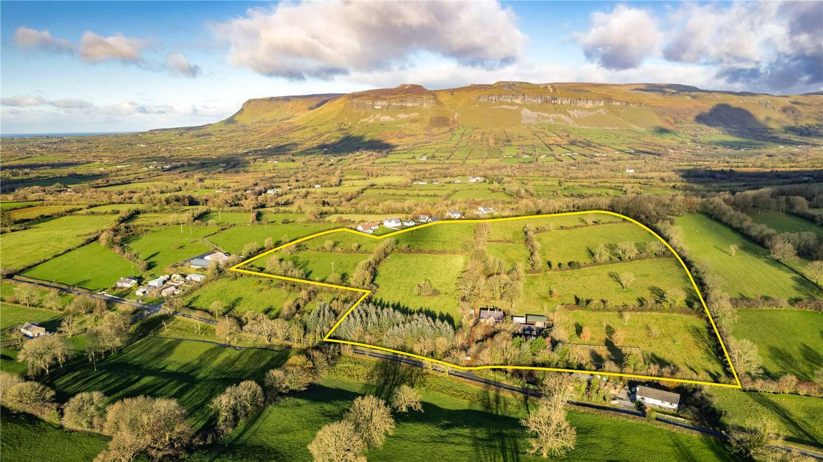 IndicatedBridge · 205 yd
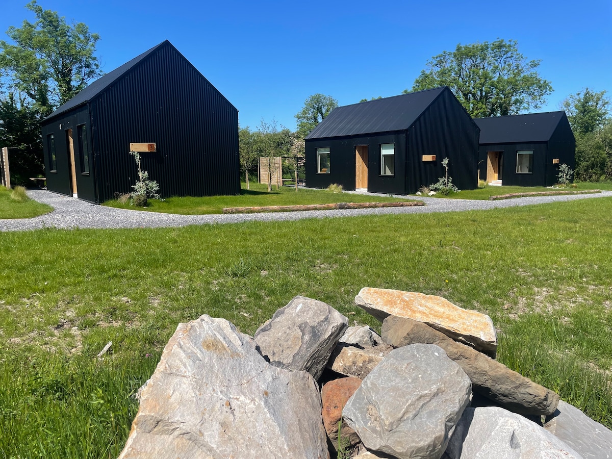 Hut site in Alternan ParkHut site · 264 yd
 Glenburn Househouse · 660 yd
 Split RockNamed rock · 1.1 mi
 CastleCastle, motte · 1.6 mi
 Ballynahowna CastleCastle, tower house · 1.7 mi
 DonaghHeadland · 1.7 mi
 Jim Smith MemorialMemorial · 2.3 mi
 Wild Atlantic Way: Easky PierVisitor information · 2.8 mi
 Eamonn's TopMountain / peak · 7.4 mi
 AnnatoranMountain / peak · 8.1 mi
Other information
Photo: Credit not shown in the picture search · Rights wording not checked; contact us if this picture should be removed