
What is recorded here
Kilshane abbey described by Westropp (1904-5, 409-10) as a 'Monastery of St. John of the Third Order of St. Francis, 1410. It was founded for conventual Franciscans by FitzGerald, of Clenlis (Cleanglass). Gerot Baluff f. Philip held "the patronage of the religious house of St. Francis, called Kilshane, with a water-mill [LI029-116----] in Ballingarry, and part of Kilnemona, in Clonkath," when he joined the rebellion, 1584 (Inq., No. 54). It has been confused with the Cistercian cell of Kilshanny, County Clare. According to Gwynn and Hadcock (1970, 138-9) a Cistercian monastery was founded at Kilshane in 1198 by Donnchad Cairbreach O'Brien, King of Limerick. It failed shortly after its establishment, and later in the fifteenth century it became a Franciscan foundation for the brethren of the Third Order Regular of St. Francis (ibid., 273).
Fabric - In 1840 there stood a nave and choir, 39 feet [12m] by 19 feet [5.8m], and 33½ feet [10m] by 19 feet 8 inches [6m], with a tower 60 feet [18m] high, on two pointed arches, 15 feet [4.5m] high at the intersection. The tower had ogee-headed lights and an oblong ope under the weather-ledge of the nave roof. The east window was large and pointed, but the sill was destroyed. The north wall was 17 feet [5.2m] high and 2 feet 9 inches [0.84m] thick; it had a breach and a lintelled door. Only a few feet of the south wall, with a defaced door, remained near the belfry. The west end of the nave was down, and only 11 feet [3.35m] of the side walls adjoined the belfry (O.S.L., 8, p. 61). Old people say that the tower closely resembled that of the Franciscan House at Adare, having stepped battlements and double lights and string courses. It fell in 1854, not in the great gale of 1839, as usually told. The ruins are now levelled to the ground, having been used for building'.
Compiled by: Caimin O'Brien
Date of upload: 22 January 2019
A local church or high cross; wider significance not recorded.
This remains an important historical record, but the official description says the monument is no longer visible or has been destroyed. The monument record does not grant public access. Check the route and ask the landowner before entering private land.
- What survives
- No visible remains or recorded as destroyed
Places near here
 Johns WellHoly well · 84 yd
 Hachured (1923).Castle, motte · 217 yd
 Old MillMill, unclassified · 470 yd
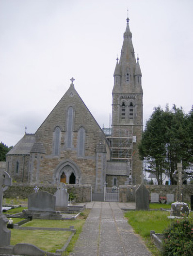 Catholic Church of Our Lady of the Immaculate Conceptionchurch/chapel · 492 yd
 Holy well in CloontempleHoly well · 549 yd
 Castle (in ruins)Castle, tower house · 863 yd
 Famine stoneMemorial · 1.4 mi
 KnockfeerinaMountain / peak · 2.0 mi
 Lady's WellSpring · 3.1 mi
 Sunday WellSpring · 3.1 mi
 Flat cemetery in Kiltenan SouthFlat cemetery · 3.4 mi
 European ashEuropean ash · 4.3 mi
Other information
Photo: Credit not shown in the picture search · Rights wording not checked; contact us if this picture should be removed