
What is recorded here
Situated on the floodplain of the S-N Finisk River, on the E bank with the river c. 20m to the W. This is reputedly a house of the Knights Templar (Gwynn and Hadcock 1970, 329), but there are no medieval sources. The church is thought to be a small rectangular structure (ext. dims. 8.8m E-W; 7.7m N-S), of which only the E gable with a slit window and the footings of the other walls survive. There is no evidence of a graveyard (WA029-024003-), and none probably existed. Attached to N of the church is a rectangular enclosure (WA029-024004-) (dims. 62m E-W; 40m N-S) defined by the remains of a stone wall (Wth c. 1m; max. H c. 3m at the NE angle) with evidence of a wall-walk and slight traces of an outer fosse (Wth 3.5m; D 0.2m; L c. 23m) at the E end of the N wall.
This enclosure was divided by a N-S masonry wall, now reduced to the foundations. The enclosure functioned as an orchard but it has a medieval origin, and buildings (WA029-024002-) within it were removed by 1898 (Power 1898a, 95) . There is a bullaun stone (WA029-024005-) (dims. 0.76m x 0.33m; H 0.2m) with a single basin (diam. 0.18m; D 8cm) embeded in the ground at the centre the enclosure, but an inscribed stone (WA029-024006-) found c. 1890 is lost without record. (O'C. Redmond 1895, 154; Power 1898a, 94-5)
Gwynn, A. and Hadcock, R. N. (1970) (reprint 1988) Medieval religious houses in Ireland. Irish Academic Press, Dublin.
O'C. Redmond, G. (1895) Notes on the history, antiquities, archaeological remains and legends connected with the western end of the county Waterford, part II.WAJ 1, 119-32, 147-61.
Power, Rev. P. (1898a) Ancient ruined churches of Co. Waterford, WAJ 4, 83-95, 195-219.
The above description is derived from the published 'Archaeological Inventory of County Waterford' (Dublin: Stationery Office, 1999). In certain instances the entries have been revised and updated in the light of recent research.
Revised by: Michael Moore
Date of upload: 26 July 2011
A local church or high cross; wider significance not recorded.
The monument record does not grant public access. Check the route and ask the landowner before entering private land.
- What survives
- Recorded monument
Places near here
 Embanked enclosureFairy fort / earthen ringfort · 921 yd
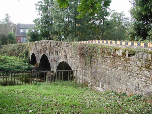 Kilmolash BridgeOfficially recorded historic building · 1249 yd
 Knockalara Househouse · 1268 yd
 St. Columkilles WellHoly well · 1370 yd
 Battle of AffaneMajor battlefield · 1.1 mi
 Dromona HillMountain / peak · 1.1 mi
 Dromana GateHeritage attraction · 1.2 mi
 CastleCastle, unclassified · 1.3 mi
 Tourin CastleCastle, tower house · 1.7 mi
 London PlaneLondon Plane · 1.7 mi
 Bishopstown WoodForest · 4.5 mi
 Lady Louisa's WalkWalking route · 4.8 mi
Other information
Photo: Credit not shown in the picture search · Rights wording not checked; contact us if this picture should be removed