What is recorded here
Black Pig's Race is a long earthen boundary wrapping a steep Cavan hill, preserving the shape of a place before roads redrew it. In Largan the rampart still stands low beside a rath, suggesting people once lived around its edge rather than merely passing it. The ditch disappears under a modern tarred road at the end, as if the pig stopped racing only when human wheels took over its path.
This portion of the 'Worm Ditch or Black Pig's Race' as marked on OS 1912 ed. commences at a stream at the base of a high, steep- sided hill in Ardkill More townland. It runs for c. 1,150m approximately NW-SE along the W and S of the hillside. At the base of the hill in Largan townland it changes direction and runs approximately E-W for c. 750m terminating at the E side of a N-S orientated stream in Drumbarry townland. No definite surface remains of the site was identifiable in Ardkill townland N of an active quarry, but the rock-cut ditch (Wth c. 3.5m; D c. 1.3m) has been recorded in the N face of the quarry (Campbell 1997, 3). The ditch is also visible (Wth c. 4m; D c. 1.5m) in the S face of the quarry, while the bank (Wth 5-7m; H at W c. 2m) with a ditch (Wth c. 4m; D c. 1.3m) on the uphill or E side continues S of the quarry (L c. 700m), veering eastwards to the boundary with Largan (ibid. 4). In Largan townland the site is marked by stretches of a much-denuded earthen rampart (max. Wth 7m; max. H 0.9m) with remains of a fosse at its NNE foot. The rampart and fosse are much disturbed by modern field drains. A rath is built against the S face of the rampart in Largan townland (CV031-047----). For the final c. 75m the site is marked by a narrow, modern tarred road. (CUCAP ALJ 79, ALJ 80, AYS 29, AYS 31; O'Donovan 1995, no. 180)
Revised by: Paul Walsh, Michael Moore
Date of upload: 20 August, 2014
The monument record does not grant public access. Check the route and ask the landowner before entering private land.
- What survives
- Recorded monument
Places near here
 Worm Ditch or Black Pigs RaceArchaeological place · 252 yd
 Enclosure in Ardkill MoreEnclosure · 271 yd
 Ardkill MoreMountain / peak · 285 yd
 Ardkill ForestForest · 386 yd
 Giant's GraveArchaeological place · 1.0 mi
 Ardvarny ForestForest · 1.1 mi
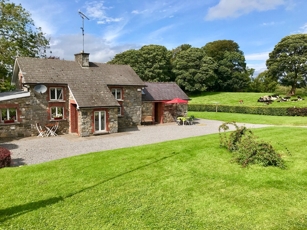 Dennmore or LeggandennMountain / peak · 1.5 mi
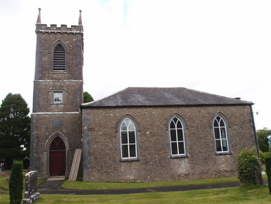 Denn Churchchurch/chapel · 1.7 mi
 Carricknagore RockNamed rock · 2.3 mi
 Not inidcatedChurch · 2.4 mi
 Bawn in MoynehallBawn · 3.5 mi
 Bawn in DuffcastleBawn · 3.6 mi