
What is recorded here
On W bank of Awbeg River, at S side of Castletownroche. Overgrown ruin of rectangular mill (int.: 22m E-W; 16m N-S). Pair of wheel-pits in river; headrace fed by weir built across river. Wheel-pit at N end contained a 12ft x 8ft undershot waterwheel; smaller wheel-pit to S contained 5ft x 12ft undershot waterwheel (FFIAS, 8). Iron axles and flaunches survive in wheel-pits, with remains of eight slim iron arms on both. Mill yard to N defined by scarp to W, river to E and wall to N with entrance gate and piers; low remains of building in yard. Long rectangular mid-19th-century addition (int. c. 30m N-S; 6m E-W) at W side of S end of mill, making overall plan L-shaped; 5-bay, 5-storey (with attic), gable-ended structure; stone-arched window opes. Mill also extends to W with structures built against a steep scarp; 2-storey gable-ended residential house attached at NW corner atop scarp. Mid-19th-century 8-bay, 3-storey store house atop high ground to NNW; curved corrugated iron roof; random rubble construction with brick-dressed opes. Mills erected in 1750; enlarged by Maurice Hickey in late 19th century; remained idle between 1890-1903 and then converted into woollen mills by T.W. Priestly (Grove White 1905-25, vol. 2, 143). Indicated on 1842 OS 6-inch map as 'Flour Mill' and as 'Woollen Mill' on 1905 OS 6-inch map.
The above description is derived from the published 'Archaeological Inventory of County Cork. Volume 4: North Cork' (Dublin: Stationery Office, 2000). In certain instances the entries have been revised and updated in the light of recent research.
Date of upload/revision: 14 January 2009
The monument record does not grant public access. Check the route and ask the landowner before entering private land.
- What survives
- Recorded monument
Places near here
 St Patricks Well (Site of)Holy well · 73 yd
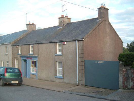 J. Hoganhouse · 289 yd
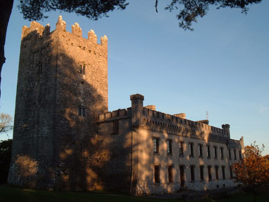 Blackwater Castlecountry house · 316 yd
 Grave YdGraveyard · 511 yd
 Anne's Grove GardensHeritage attraction · 1.8 mi
 Castle (in Ruins)Castle, unclassified · 2.1 mi
 CastleCastle, tower house · 2.3 mi
 Blackwater (Avondhu) WayWalking route · 2.6 mi
 Priest's WoodForest · 3.2 mi
 Johnson's WoodForest · 3.5 mi
 Knocknaskagh North TopMountain / peak · 3.8 mi
 Graveyard in BoherashGraveyard · 4.8 mi
Other information
Photo: Credit not shown in the picture search · Rights wording not checked; contact us if this picture should be removed