What is recorded here
Woods is a shipwreck in County Antrim, Ireland. Perhaps the Brig cut through dark water before surrendering to the seabed in 1827. Maybe its hull still lies broken at 24m, waiting for a diver who understands loss.
The official Northern Ireland wreck record identifies Woods as Brig. It was lost in 1827. Recorded depth: 24m.
The *Woods* was a brig lost in 1827 off the coast of Northern Ireland, lying at a depth of 24 meters. Its significance lies in contributing to the historical record of 19th-century maritime activity in the region.
A wreck point does not grant access or permission to dive, enter land, disturb the site or recover anything. Check current law and local conditions first.
Places near here
 Isle of MuckIsland · 459 yd
 FORTIFICATION in Portmuck, Isle of MuckFORTIFICATION · 494 yd
 North HeadHeadland · 795 yd
 CASTLE in PortmuckCASTLE · 909 yd
 TWO ENCLOSURES (RATH AND Man-made underground passage)? in PortmuckTWO ENCLOSURES (RATH AND Man-made underground passage)? · 1067 yd
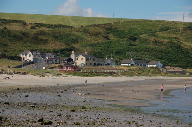 Browns bay walkBeach / strand · 2.1 mi
 CavesCave · 2.5 mi
 Gordon's LeapBay · 2.8 mi
 Otter CaveCave · 2.8 mi
 the gobbins pathHeritage attraction · 3.2 mi
 Swan IslandIslet · 3.2 mi
 MV Princess Victoria MemorialMemorial · 3.4 mi