
What is recorded here
From OpenStreetMap (© OpenStreetMap contributors) n6746594204
Places near here
Photo credits
- Maker not stated on source page, stjohnschurchknockainey.wordpress.com
- Colin Park, Geograph · CC BY-SA 2.0
- National Inventory of Architectural Heritage
- Kenneth Allen, Geograph · CC BY-SA 2.0
- Maker not stated on source page, www.pinterest.com
- Maker not stated on source page, www.thejournal.ie
- Maker not stated on source page, www.irelandhighlights.com
- Maker not stated on source page, au.pinterest.com
- Maker not stated on source page, curiousireland.ie
- Maker not stated on source page, en.wikipedia.org
 Multiperiod Church; Graveyard; Penal Site; Killeen: Templemoyle or Temple Cill Na Cashna or Killycawna in GlennooMultiperiod Church · 2.1 mi
Explorer Tom Multiperiod Church, Graveyard, Penal Site, Killeen: Templemoyle or Temple Cill Na Cashna or Killycawna in Glennoo…
 Slieve Beagh se TopMountain / peak · 2.1 mi
Explorer Tom Slieve Beagh SE Top has a long-standing grudge against the weather for constantly smudging its features like it’s a bad…
 Saint Joseph's Catholic ChurchChurch/chapel · 2.9 mi
Explorer Tom Saint Joseph's Catholic Church in Corlat has got a staircase tower that looks like it lost a fight with a rectangle.…
 Sliabh Beagh Hotel and Tourism CentreVisitor information · 3.0 mi
Explorer Tom Sliabh Beagh Hotel and Tourism Centre thinks Dublin tourists are just fancy versions of tourists, which is technically…
 Cairn: doocarn in ErveyCairn: Doocarn · 3.6 mi
Explorer Tom Cairn: doocarn in Ervey would ace a job interview by saying it’s been there longer than the company and asking for a…
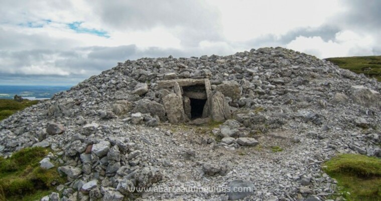 Cairn: carnmore in CarnmoreCairn: Carnmore · 4.0 mi
Explorer Tom Cairn: Carnmore in Carnmore is handling a nosey neighbour by just staring at them until they leave. It’s got the…
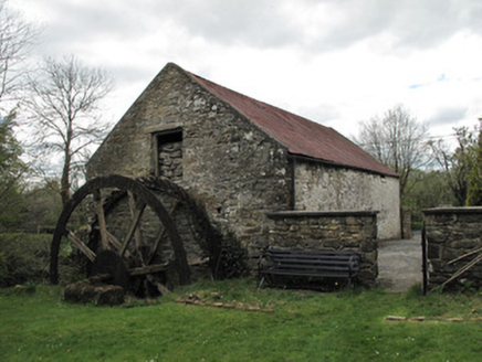 Drummans MillMill (water) · 4.4 mi
Explorer Tom Drummans Mill has a fierce feud with the rain because it keeps trying to get in and mess up the grinding stones. It…
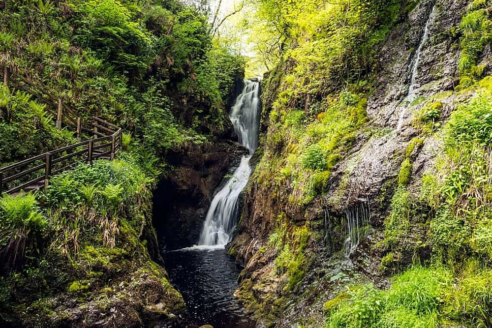 Altnaponer ForestForest · 4.4 mi
Explorer Tom Altnaponer Forest has been hiding a massive scandal involving three earls and a lost hat for centuries. Nobody checks…
 Standing stone in GrogeyStanding Stone · 4.9 mi
Explorer Tom Standing stone in Grogey is on its way to winning the county fair for best display. It doesn't even need a ribbon, it…
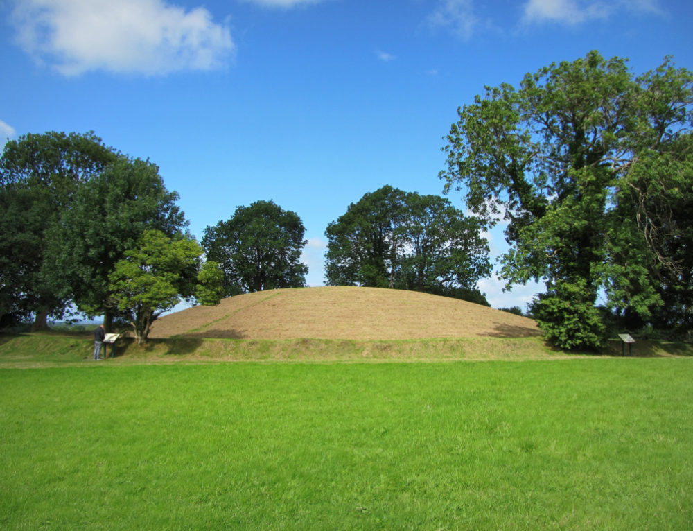 Fairy fort / earthen ringfort in Gola EnglishFairy fort / earthen ringfort · 4.9 mi
Explorer Tom Fairy fort / earthen ringfort in Gola English is stuck in a feud over who owns the best view of the valley. Two…
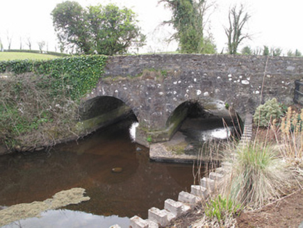 bridge4.9 mi
Explorer Tom Bridge in Gola English has original round profile arches that point to its early construction date, looking…
 Mapped graveyardGraveyard · 5.1 mi
Explorer Tom "Mapped graveyard is famous for the poet who fell in the ditch nearby while reciting his work and landed face-first in…
More mountains and hills in County Fermanagh · All of County Fermanagh

What do you know about this place?Tap to add a comment or ask a question