What is recorded here
Marked on Taylor and Skinner's map (1783) just N of the Duncormick to Bannow road (Andrews, 1969, 151) and is described as a 'Windmill' on the 1839 ed. of the OS 6 inch map. It is situated on a fairly level landscape. This is a conical tower (ext. diam. of base 9.65m; int. diam. 7.25m) of three floors with opposing doorways at E and W. surviving complete to a height of c. 7m. It has no surviving internal features.
From the National Monuments Service (Archaeological Survey of Ireland) record WX046-082
The monument record does not grant public access. Check the route and ask the landowner before entering private land.
- What survives
- Recorded monument
Places near here
Photo credits
- National Inventory of Architectural Heritage
- Pam Brophy, Wikimedia Commons · CC BY-SA 2.0
- Oliver Dixon, Geograph · CC BY-SA 2.0
- kevin higgins, Geograph · CC BY-SA 2.0
- kevin higgins, Wikimedia Commons · CC BY-SA 2.0
- Mike Searle, Geograph · CC BY-SA 2.0
- Andreas F. Borchert, Wikimedia Commons · CC BY-SA 4.0
- Kenneth Allen, Geograph · CC BY-SA 2.0
 mill (wind)1 yd
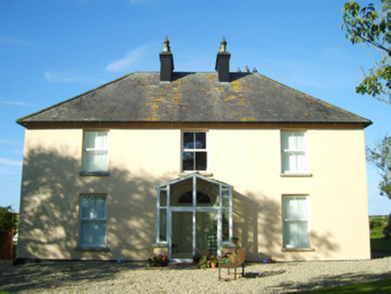 Lough HouseFarm house · 773 yd
 Coolhull CastleHouse, fortified house · 1.5 mi
 Windmill1.8 mi
 Cull IslandIsland · 1.9 mi
 Cullenstown StrandBeach / strand · 2.2 mi
 Ballyteigue BurrowNature reserve · 2.3 mi
 Danes Castle (in ruins)Castle, tower house · 3.1 mi
 Font in BallyconnickFont · 3.4 mi
 Blackhall StrandBeach / strand · 3.4 mi
 Keeragh IslandsIsland · 3.5 mi
 Kilmore Quay Walking TrailVisitor information · 5.1 mi
More archaeology and monuments in County Wexford · All of County Wexford
What do you know about this place?