What is recorded here
A windmill is marked on the Down Survey barony map of Forth (1656-8) at the N end of Whitehouse and Whitehoult townland (13) in Rosslare parish, but Whitehoult is now Walsheslough. The Down Survey parish map of Rosslare in NLI (ms, 725; microfilm, P 7384; N 6380) only depicts a windmill at Ballybroe, but the terrier or commentary lists a windmill and slate house at Whitehouse as well as a windmill at Ballybroe (WX048-159----). In 1640 Rowland Scurlocke owned 120 acres at Whitehouse and Whitehoult and almost the whole of Rosslare parish according to the Book of Survey and Distribution (1660s) (Simington 1953, 307). The manors of Ballymore and Rosslare had been granted by Queen Mary (1553-8) to Rowland Scurlocke, her physician (Hore 1920, 91-3). There were two windmills at Rosslare in the mid-17th century, but the precise location of that at Whitehouse is not known.
See the attached section of the Down Survey (1656-8) barony map (N at right) reproduced courtesy of the National Library of Ireland (Ms 725)
Compiled by: Michael Moore
Date of upload: 31 May, 2013
Amended: 2 January, 2014
The monument record does not grant public access. Check the route and ask the landowner before entering private land.
- What survives
- Recorded monument
Places near here
 Marconi HouseMemorial · 306 yd
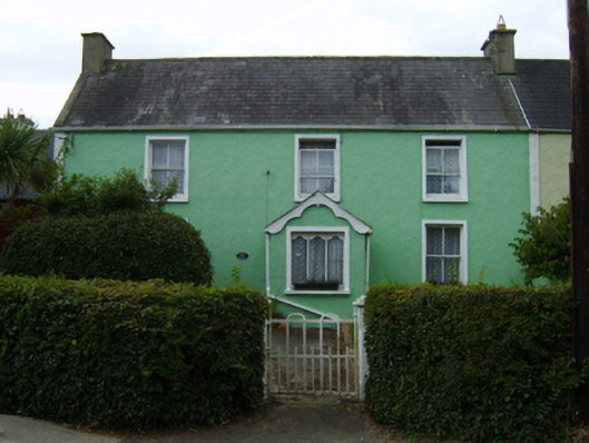 Osborne Househouse · 363 yd
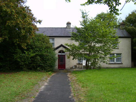 Rosslare Cottagehouse · 384 yd
 Birdlife of RosslareVisitor information · 890 yd
 Rosslare Strand BeachBeach / strand · 1427 yd
 Wind MillWindmill · 1.1 mi
 Site of ChapelChurch · 1.2 mi
 BirdlifeVisitor information · 1.4 mi
 James Stevens Lifeboat MemorialMemorial · 1.4 mi
 CastleCastle, unclassified · 2.1 mi
 Site of CastleCastle, unclassified · 3.3 mi
 Johnstown Castle Visitor CentreHeritage attraction · 4.8 mi