What is recorded here
Sixteen windmills are shown at Townparks in St. John’s parish on a 1772 map by Valency that is probably based on a lost Down Survey map (Hore 1900-11, vol. 5, 62). This windmill is unlocated.
Compiled by: Michael Moore
Date of upload: 14 December, 2012
The monument record does not grant public access. Check the route and ask the landowner before entering private land.
- What survives
- Recorded monument
Places near here
 Church (in ruins)Church · 448 yd
 bridgebridge · 845 yd
 Fulacht fia in RichfieldFulacht fia · 1502 yd
 CastleCastle, unclassified · 1712 yd
 Not idicatedFulacht fia · 1751 yd
 Ivan Sutton Art ExhibitionGallery · 1.8 mi
 Memorial Trail & Garden in Honour of Those Lost at SeaMemorial · 1.8 mi
 Whale boneHeritage attraction · 1.9 mi
 Kilmore Quay - Crehen Twinning MemorialMemorial · 1.9 mi
 Cull IslandIsland · 1.9 mi
 Kilmore Quay Walking TrailVisitor information · 1.9 mi
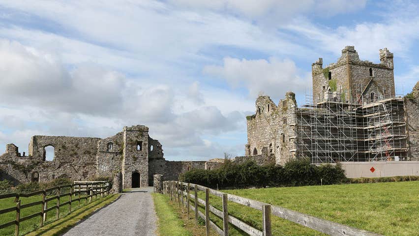 Castle (Site of)Castle, unclassified · 2.2 mi