What is recorded here
Located on a level landscape. Archaeological monitoring (05E1096) of a windfarm project uncovered a pit with burnt stone and pottery and small isolated spreads of burnt mound material. (Hurley 2006, 15)
Compiled by: Michael Moore
Date of upload: 20 August, 2013
The monument record does not grant public access. Check the route and ask the landowner before entering private land.
- What survives
- Recorded monument
Places near here
 Fulacht fia in RichfieldFulacht fia · 452 yd
 IndicatedRoad, road/trackway · 481 yd
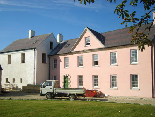 Richfield Housefarm house · 949 yd
 CastleCastle, unclassified · 953 yd
 Enclosure in BallyhartyEnclosure · 1.0 mi
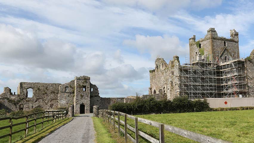 Castle (Site of)Castle, unclassified · 1.2 mi
 Cull IslandIsland · 1.9 mi
 Ballyteigue BurrowNature reserve · 2.5 mi
 Ivan Sutton Art ExhibitionGallery · 2.8 mi
 Memorial Trail & Garden in Honour of Those Lost at SeaMemorial · 2.8 mi
 Whale boneHeritage attraction · 2.9 mi
 Kilmore Quay - Crehen Twinning MemorialMemorial · 2.9 mi
Other information
Photo: Credit not shown in the picture search · Rights wording not checked; contact us if this picture should be removed