
What is recorded here
A roadway runs W-E (L c. 1km) a little N of Ballymagir moated site (WX046-052001-) and castle (WX046-052002-) along the spine of a causeway, and terminates at the E end of Richfield townland at what was the W shore of the Broad Water inlet of Ballyteige Lough, called Mablen Haven in the Civil Survey (1654-6) (Simington 1953, 149). Archaeological monitoring (05E1096) identified a gateway (WX046-101----) at the E end of the road, and excavation revealed the cobbled surface with strengthened edges (Hurley 2009). It is postulated that there may have been a quay at the E end of the road from the middle ages (Hurley 2006, 18-9). However, there is no mention of one in the Civil Survey (1654-6), although FitzNicholls Dock, which would be in Ballyharty on the E side of the Broad Water inlet is recorded. The road and gateway may be late 17th or 18th century in date.
Compiled by: Michael Moore
Date of upoad 20 August, 2013
The monument record does not grant public access. Check the route and ask the landowner before entering private land.
- What survives
- Recorded monument
Places near here
 Fulacht fia in RichfieldFulacht fia · 163 yd
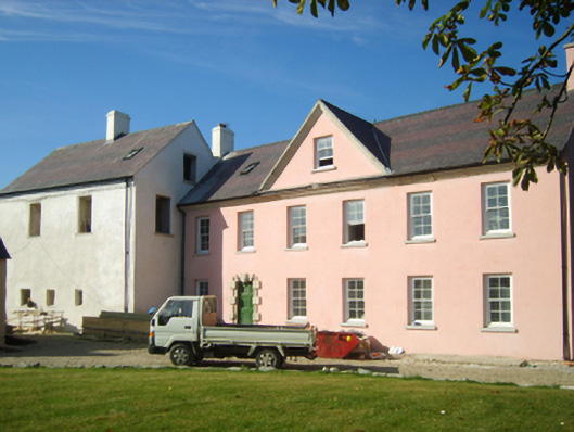 Richfield Housefarm house · 470 yd
 CastleCastle, unclassified · 473 yd
 Not idicatedFulacht fia · 481 yd
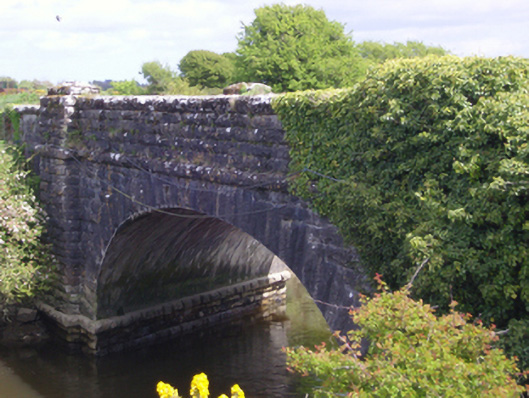 bridgebridge · 1059 yd
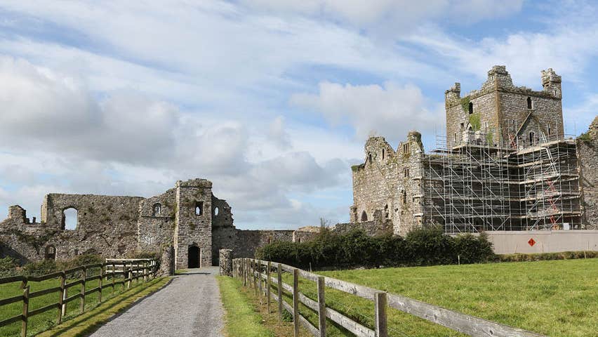 Castle (Site of)Castle, unclassified · 1.3 mi
 Cull IslandIsland · 1.6 mi
 Ballyteigue BurrowNature reserve · 2.2 mi
 Memorial Trail & Garden in Honour of Those Lost at SeaMemorial · 2.7 mi
 Ivan Sutton Art ExhibitionGallery · 2.8 mi
 Whale boneHeritage attraction · 2.8 mi
 Kilmore Quay - Crehen Twinning MemorialMemorial · 2.8 mi
Other information
Photo: Credit not shown in the picture search · Rights wording not checked; contact us if this picture should be removed