
What is recorded here
Situated on top of a broad, low hill, but not marked on the 1839 or 1940 eds of the OS 6-inch map. The terrier or commentary of the Down Survey (1656-8) parish map of Tacumshin in NLI (ms 725; microfilm: P 7384, N 6380) mentions a windmill at Ballytory. The SW half of a cylindrical tower (int. diam. 2.87m; H c. 4m) survives as its NE half was incorporated into a building. A blocked doorway (Wth 0.65m; H 1.75m) survives at SE. There is a rebate to support the first floor and there were windows at the first and second floors at W. A house abuts it at SW.
The above description is derived from the published 'Archaeological Inventory of County Wexford' (Dublin: Stationery Office, 1996). In certain instances the entries have been revised and updated in the light of recent research.
Compiled by: Michael Moore
Date of upload/revision: 3 January 2014
Amended: 26 February, 2014
The monument record does not grant public access. Check the route and ask the landowner before entering private land.
- What survives
- Recorded monument
Places near here
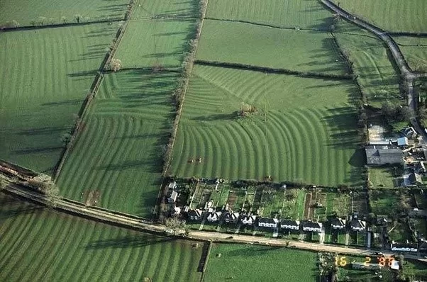 Field system in Ballytory UpperField system · 387 yd
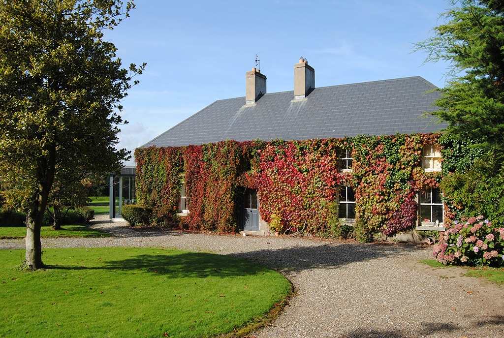 Enclosure in Ballytory UpperEnclosure · 393 yd
 Chapel in Ballytory LowerChapel · 791 yd
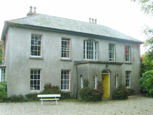 Ballytory Castlefarm house · 879 yd
 Ballymacane CastleCastle, unclassified · 1504 yd
 CastleHouse, fortified house · 1655 yd
 ScargeenIsland · 1.3 mi
 InishIsland · 1.3 mi
 Lady's IslandVisitor information · 1.5 mi
 Wilson's MoorWood · 1.7 mi
 The HamBay · 2.0 mi
 The Chour / The Hill of the ChourMountain / peak · 2.5 mi
Other information
Photo: Credit not shown in the picture search · Rights wording not checked; contact us if this picture should be removed