What is recorded here
Foundations of a windmill marked on the 1837 OS 6-inch map. The base of this windmill is evident as a slightly raised area (Diam. 18.50m) enclosed by a ditch (Wth 8m, D 0.40m). According to the owner the ditch had been deeper prior to levelling c. 1985. Post-1700 AD in date.
Compiled by: Geraldine Stout
Date of upload: 26 August 2011
The monument record does not grant public access. Check the route and ask the landowner before entering private land.
- What survives
- Recorded monument
Places near here
 Pit in BalloughPit · 1163 yd
 Field system in BalloughField system · 1166 yd
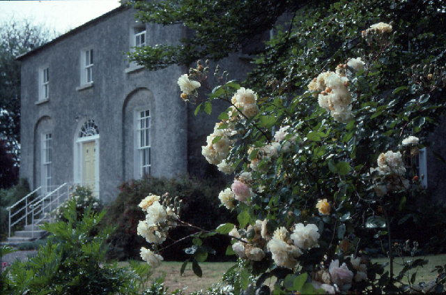 Glebe Houserectory/glebe/vicarage/curate's house · 1232 yd
 Thomas AsheMemorial · 1430 yd
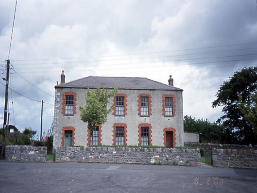 Lusk National Schoolschool · 1660 yd
 Picnic AreaPicnic place · 1676 yd
 LuskMemorial · 1.2 mi
 CastleCastle, unclassified · 1.5 mi
 Turvey Allotments and Nature ReserveNature reserve · 2.7 mi
 Roseville Business ParkVisitor information · 2.8 mi
 Turvey HouseCastle, tower house · 2.8 mi
 Hollywood GreatMountain / peak · 3.2 mi