
What is recorded here
Identified during pre-development works for the M1 (Licence no. 01E1138) this site consisted of five large prehistoric pits 91.6m-3m diam.), possibly of Bronze Age date. To the east of the pits was a small area of c.5m sq. contained eleven pits, two post-holes and eighteen stake-holes. A subcircular pit (0.55m by 0.22m) produced a quantity of burnt bone, and an oval pit (0.16m by 0.14m), produced a single struck flint, a carbonised hazelnut shell (Corylus avellana), a carbonised fruit stone and a single sherd of prehistoric pottery. (Chapple 2002, 21).
Compiled by: Christine Baker
Date of upload: 5 February 2015
The monument record does not grant public access. Check the route and ask the landowner before entering private land.
- What survives
- Recorded monument
Places near here
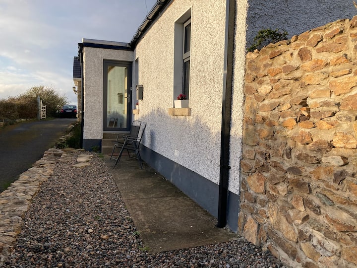 Enclosure in NewtowncorduffEnclosure · 358 yd
 Field system in BalloughField system · 798 yd
 Picnic AreaPicnic place · 1398 yd
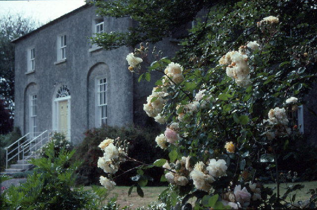 Glebe Houserectory/glebe/vicarage/curate's house · 1638 yd
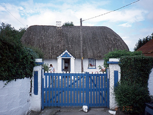 farm housefarm house · 1714 yd
 Thomas AsheMemorial · 1.2 mi
 Chapel FarmMemorial · 1.6 mi
 CastleCastle, unclassified · 2.1 mi
 Turvey Allotments and Nature ReserveNature reserve · 2.5 mi
 The Birds of Rogerstown EstuaryVisitor information · 2.6 mi
 Turvey HouseCastle, tower house · 2.6 mi
 Hollywood GreatMountain / peak · 3.1 mi
Other information
Photo: Credit not shown in the picture search · Rights wording not checked; contact us if this picture should be removed