What is recorded here
On a hilltop overlooking Lough Ree to the S and SW. Named 'Wind Mill Stump' on the 1837 ed. of the OS 6-inch map, this may be the remains of the windmill where Sir Silvester Browne, having been forcibly taken from his house (LF021-010002-) in Formoyle by several Irishmen, was hanged, along with Daniel Stubbs, in May 1642 (Hickson 1884, vol. 1, 354, 358). All that survives are partial wall-footings (approx. wall T 0.8m). The shell of a two-storey 19th-century windmill lies c. 3m to the SSW.
Compiled by: Caimin O'Brien
Date of upload: 11 February 2013
The monument record does not grant public access. Check the route and ask the landowner before entering private land.
- What survives
- Recorded monument
Places near here
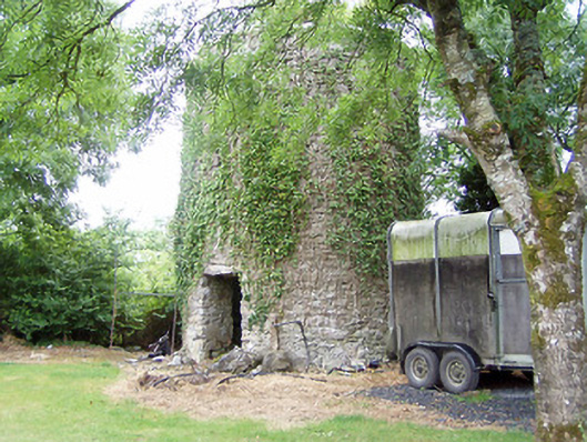 mill (wind)mill (wind) · 6 yd
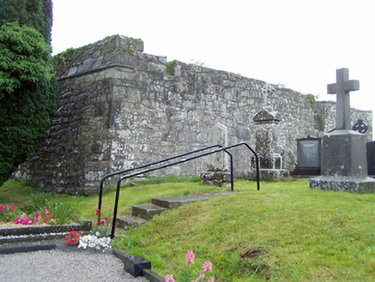 gates/railings/walls, graveyard/cemeterygates/railings/walls, graveyard/cemetery · 518 yd
 Grave YardGraveyard · 528 yd
 Man-made underground passage in Aghavadden,glebe (rathcline By., Cashel West Ed)Man-made underground passage · 847 yd
 Elfeet CastleCastle, Anglo-Norman masonry castle · 1148 yd
 Priest's IslandIslet · 1.0 mi
 Elfeet BayBay · 1.1 mi
 Culnagore WoodForest · 1.1 mi
 Leveran IslandIslet · 1.2 mi
 Caltragh CastleCastle, unclassified · 1.3 mi
 Black RockNamed rock · 2.7 mi
 St. John's WoodWood · 2.7 mi