What is recorded here
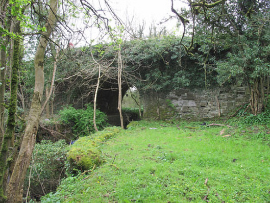
Single-arch humpback canal bridge, built c.1838, carrying road over Ulster Canal. Elliptical arch with tooled sandstone voussoirs. Squared coursed sandstone to spandrel walls, stones missing in places revealing sand, lime and clay packing materials. Square-plan squared stone piers to ends of parapet, and spandrel walls, to each elevation. Tooled stone platband to base of parapet walls. Gunnelled squared stone to soffits. Towpath with tooled stone coping running to north abutment.
Unlike some canal bridges in this area, this example remains in use by the road, which is testament to quality of civil engineering skill which was involved in its construction. Although it is somewhat overgrown, details such as its tooled stone platband, voussoirs, and squared stone piers enliven each elevation. The elliptical shape of the arch reflects its relatively late date of construction, as the three-centred arch was favoured in early canal bridges. A component part of the Ulster Canal which linked Lough Neagh with Upper Lough Erne, this bridge is representative of the endeavour to provide a comprehensive network of navigable waterways in Ireland, prior to the advent of railway transport, and as such is an integral piece of transport history.
From the Buildings of Ireland (National Inventory of Architectural Heritage) record 41400965
This does not grant access. Most recorded buildings are privately owned; view them only from public ground unless the owner allows entry.
Places near here
Photo credits
- National Inventory of Architectural Heritage
- Dieglop, Wikimedia Commons · CC BY-SA 4.0
- Walking with a phone, Wikimedia Commons · CC BY-SA 4.0
- Willow, Wikimedia Commons · CC BY 2.5
- Eric Jones, Geograph · CC BY-SA 2.0
- Raymond Okonski, Wikimedia Commons · CC BY-SA 2.0
- Brian Lenehan, Geograph · CC BY-SA 2.0
- Kenneth Allen, Geograph · CC BY-SA 2.0
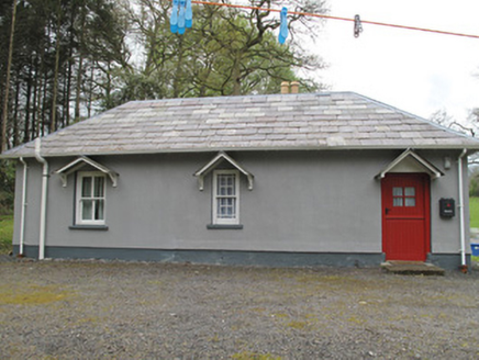 BallyleckGate lodge · 437 ydHazel WoodWood · 443 yd
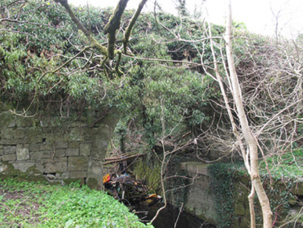 Ballyleck BridgeBridge · 707 yd
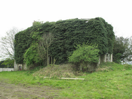 Brandrum HouseCountry house · 767 ydRossmore CastleRuins · 1.2 mi
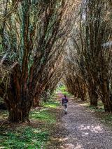 Rossmore Forest ParkWood · 1.3 mi
 Rossmore MausoleumHeritage attraction · 1.6 mi
 European ash1.8 mi
 Dawson MonumentMonument · 2.1 mi
 Rossmore MonumentMemorial · 2.2 mi
 Old Cross SquareMonument · 2.3 mi
 Sliabh Beagh Hotel and Tourism CentreVisitor information · 6.5 mi
More historic places in County Monaghan · All of County Monaghan
What do you know about this place?