
Places near here
Photo credits
- National Inventory of Architectural Heritage
- kevin higgins, Geograph · CC BY-SA 2.0
- Golfing in Ireland; photographer not stated, Source publisher
- Liam Hughes from Milwaukee, WI, USA, Wikimedia Commons · CC BY 2.0
- Kmcnamee, Wikimedia Commons · CC BY-SA 4.0
- MookiePlays, Wikimedia Commons · CC BY-SA 4.0
- Bridget Neville, Wikimedia Commons · CC BY-SA 4.0
- Kieran Campbell, Geograph · CC BY-SA 2.0
Explorer Tom Whelans Fort is secretly proud of one specific potato that grew inside its bank back in the day. It’s been guarding…
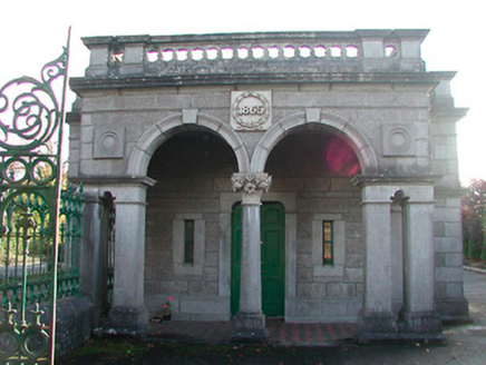 Tudenham ParkGate lodge · 729 yd
Explorer Tom Tudenham Park gate lodge claims to be older than the concept of time, which is a stretch, but the cut stone work is…
 Saint Nicholas's Church (Moylisker)Church/chapel · 799 yd
Explorer Tom Saint Nicholas's Church in Moylisker would win any county fair for best dressed, with all that fancy cut stone and…
OutlinedFairy fort / earthen ringfort · 811 ydExplorer Tom The Fairy fort in Anneville or Rathduff is unusually small at only twenty-three meters across, which makes it feel like…
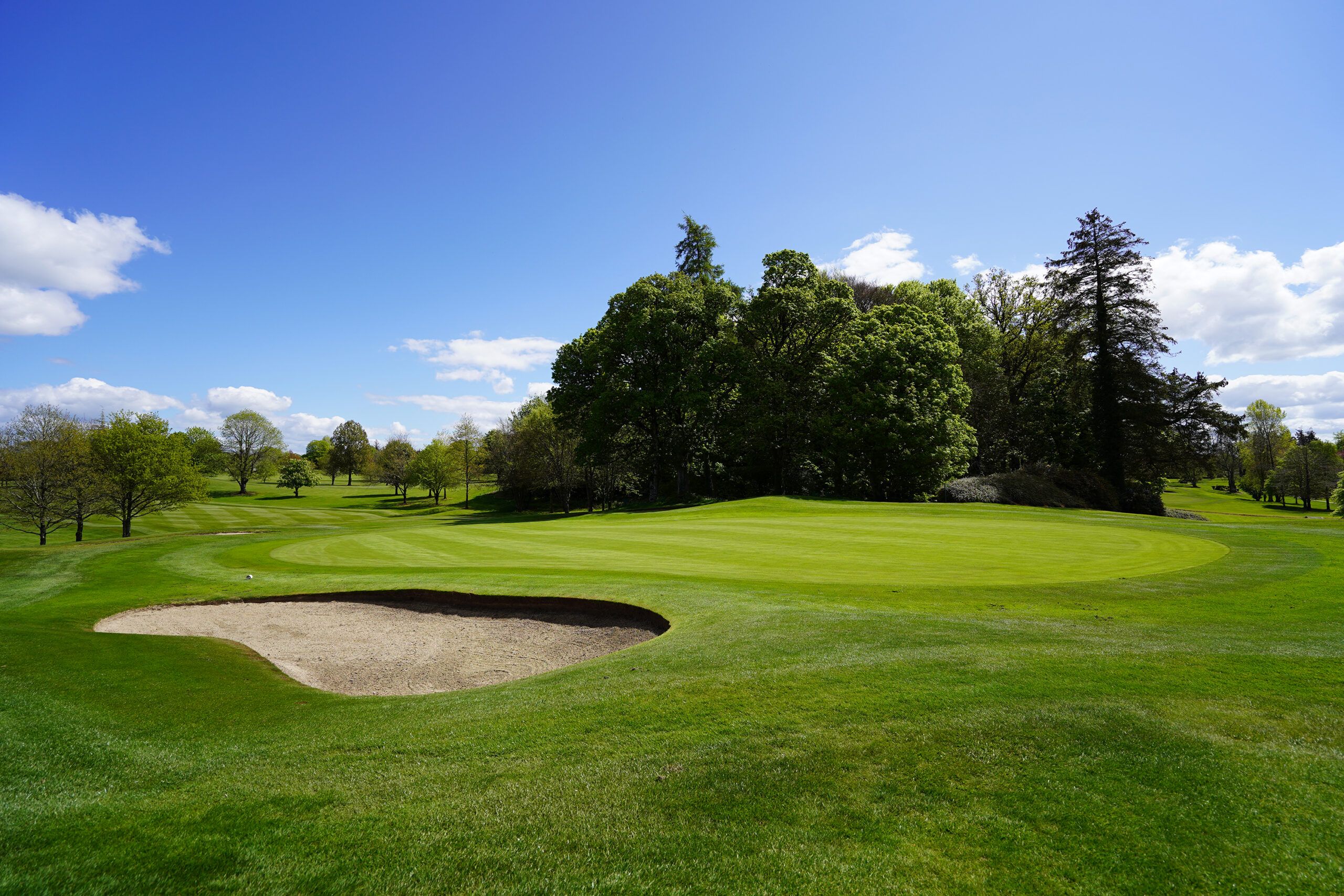 Mullingar Golf ClubGolf course · 862 yd
 Belvedere house and gardensVisitor information · 1658 yd
Explorer Tom Belvedere has a wall built to stop one brother seeing another's house. If my family arguments produced masonry, Donegal…
Castle in RuinsCastle, tower house · 1.1 miExplorer Tom Castle in Ruins would teach history by shouting at you until you understood the point, then falling asleep mid-lecture.…
Mollie Moo's Pet FarmHeritage attraction · 1.2 miExplorer Tom Mollie Moo's Pet Farm would cope brilliantly on a reality show, probably stealing the spotlight with its charm. It’s…
 Shandonagh GAA pitchGAA ground · 3.2 mi
 CastleCastle, unclassified · 4.1 mi
Explorer Tom Castlelost is stuck in a feud with its own motte over who owns the best view. Two families spent centuries arguing…
 Saint Brigid's WellSpring · 4.9 mi
Explorer Tom Saint Brigid's Well has an escape plan involving a cart of hay and a very fast horse named Brenda. She’s been plotting…
 WestmeathVisitor information · 6.3 mi
Explorer Tom Westmeath itself was clearly designed by a mother-in-law who liked her paths narrow and her opinions sharp. It’s got…
More archaeology and monuments in County Westmeath · All of County Westmeath

What do you know about this place?Tap to add a comment or ask a question