What is recorded here
From the Irish Caves Database, University of Bristol Spelæological Society record 2209
Places near here
Photo credits
- Britishfinance, Wikimedia Commons · CC BY-SA 4.0
- Michael Earnshaw, Geograph · CC BY-SA 2.0
- Michael Earnshaw, Wikimedia Commons · CC BY-SA 2.0
- Dr Wotsit, Wikimedia Commons · CC BY-SA 3.0
- Maker not stated on source page, en.wikipedia.org
- National Inventory of Architectural Heritage
- Newbert12, Wikimedia Commons · CC BY-SA 4.0
- Maker not stated on source page, www.locationscout.net
- Maker not stated on source page, www.wildernessireland.com
 Binn ChaonaighMountain / peak · 1715 yd
Explorer Tom Binn Chaonaigh was built on a bargain where someone promised to never complain about the weather, which is clearly a…
 Binn MhairgMountain / peak · 1758 yd
Explorer Tom Binn Mhairg has a family tree that I have mostly made up, but it involves a Viking, a goat, and a mysterious red coat.…
 Binn Mhor West TopMountain / peak · 1.0 mi
Explorer Tom Binn Mhor West Top has a tall tale about a hidden tunnel to the local pub that locals swear exists but nobody can find.…
 Binn MhórMountain / peak · 1.0 mi
Explorer Tom Binn Mhór means 'great peak', and its 661 metre shoulder rises above Mám Éan in Connemara's Maumturks. The hill has the…
 Binn idir an dá LogMountain / peak · 2.0 mi
Explorer Tom Binn idir an dá Log sits high on the Maumturks in Connemara, its Irish name placing it between two hollows with…
 CorcogemoreMountain / peak · 2.6 mi
Explorer Tom Corcogemore sits at the southern end of Galway’s Maamturk Mountains, looking as if someone set a great stone beehive…
 Breenane GraveyardGraveyard · 2.7 mi
Explorer Tom Breenane Graveyard is where Vikings supposedly got lost looking for it because they couldn't read the map or the trees.…
 post box2.8 mi
Explorer Tom This post box in Breenaun started because two lads made a bet in the pub that they could get mail delivered faster than…
 Eaglais Breith Chríost [Catholic Church of the Nativity]Church/chapel · 2.9 mi
Explorer Tom Eaglais Breith Chríost in Kilmeelickin has a bullet hole from the Black and Tans, proving ghosts get lazy sometimes.…
 Stone row in BoheeshalStone row · 3.0 mi
Explorer Tom Boheeshal is hiding a stone row that the Vikings probably missed because they were too busy getting lost in the mists.…
 Cnoc na hUilleannMountain / peak · 3.2 mi
Explorer Tom Cnoc na hUilleann curses anyone who doesn't wave by making their socks smell like wet dog for a week. It’s got that…
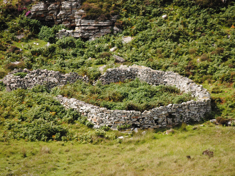 Fairy fort / earthen ringfort in GowlaunleeFairy fort / earthen ringfort · 3.5 mi
Explorer Tom Fairy fort / earthen ringfort in Gowlaunlee is playing hard to get with its missing outer bank. It’s got a secret…
More caves in County Galway · All of County Galway

What do you know about this place?Tap to add a comment or ask a question