What is recorded here
Two wells are depicted on the 1st ed. OS 6-inch map, both named, one as Frank's Well, the other as Tobergloratthe latter is mentioned in the Civil Survey of 1654-56 (Simington 1934, Vol. 2, 305). Probably the site of a natural spring well, though nothing was visible during field inspection in 1995.
Compiled by: Jean Farrelly and Caimin O'Brien
Date of upload/revision: 22 September 2008
The monument record does not grant public access. Check the route and ask the landowner before entering private land.
- What survives
- Recorded monument
Places near here
 ToberneeboneHoly well · 450 yd
 Enclosure in DrummondEnclosure · 556 yd
 Tullan CastleCastle · 1278 yd
 Church in Carney, Commons OFChurch · 1413 yd
 Castle (in Ruins)Bawn · 1.0 mi
 Cloghprior Househouse · 1.1 mi
 Carrickboy WoodForest · 1.4 mi
 Knigh HillMountain / peak · 3.1 mi
 Buggane IslandIslet · 3.1 mi
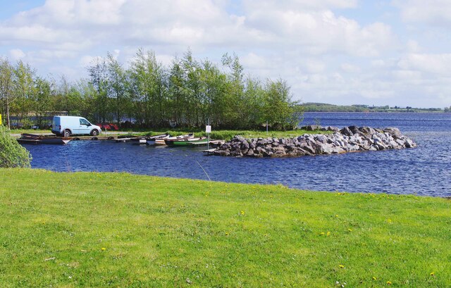 Lough DergNationally known place · 3.8 mi
 Goose IslandIslet · 3.9 mi
 Dromineer BayBay · 4.0 mi