What is recorded here
This is a very overgrown, enclosed well on the south side of a stream at the junction of Brook Lane and Farrans Lane in Rush Village. No local tradition of veneration. Some kerbing left but essentially a spring. Locally known as source of drinking water for cottage on opposite side of the lane.
From the National Monuments Service (Archaeological Survey of Ireland) record DU008-014
The monument record does not grant public access. Check the route and ask the landowner before entering private land.
- What survives
- Recorded monument
Places near here
Photo credits
- National Inventory of Architectural Heritage
- Eirian Evans, Geograph · CC BY-SA 2.0
- Jonjobaker, Wikimedia Commons · CC BY-SA 4.0
- Building (Publishers) Ltd., Wikimedia Commons · Public domain
- jwd, Geograph · CC BY-SA 2.0
- Gallftree008, Wikimedia Commons · CC BY-SA 4.0
- Cathalgibbons, Wikimedia Commons · CC BY-SA 4.0
- FrankFlanagan, Wikimedia Commons · CC0
- David Medcalf, Geograph · CC BY-SA 2.0
- Adc88 at en.wikipedia, Wikimedia Commons · CC0
- Delatorre, Wikimedia Commons · CC BY-SA 3.0
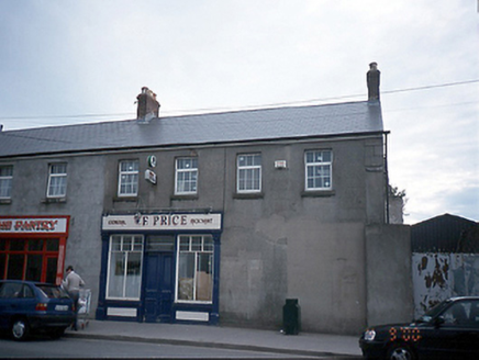 W.f. PriceHouse · 271 yd
 Shamrock CottageHouse · 291 yd
 The MillbankVisitor information · 726 yd
 IndicatedWindmill · 797 yd
 Kenure PorticoMonument · 1252 yd
 Rush South BeachBeach / strand · 1667 yd
 IndicatedCastle, tower house · 1751 yd
.JPG/250px-Baldongan_Castle_(exterior).JPG "Photo: Cathalgibbons, Wikimedia Commons · CC BY-SA 4.0") Castle (in ruins)Castle, Anglo-Norman masonry castle · 2.4 mi
Castle (in ruins)Castle, Anglo-Norman masonry castle · 2.4 mi Thomas AsheMemorial · 3.4 mi
 Lambay HarbourBeach / strand · 3.4 mi
 Newbridge House and DemesneHeritage attraction · 4.0 mi
 Lambay IslandIsland · 4.0 mi
More archaeology and monuments in County Dublin · All of County Dublin
What do you know about this place?