
What is recorded here
From the National Monuments Service (Archaeological Survey of Ireland) record OF007-056
Places near here
Photo credits
- National Inventory of Architectural Heritage
- Kmcnamee, Wikimedia Commons · CC BY-SA 4.0
- Maker not stated on source page, commons.wikimedia.org
- Maker not stated on source page, www.gettyimages.com
- Maker not stated on source page, 4returns.commonland.com
- Maker not stated on source page, www.ireland.com
- dougf, Wikimedia Commons · CC BY-SA 2.0
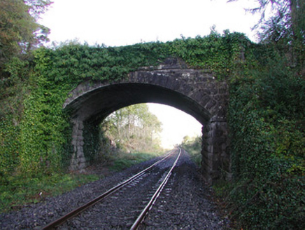 Moorock BridgeBridge · 633 yd
Explorer Tom Moorock Bridge claims a poet fell in the ditch nearby while trying to write a sonnet about its limestone texture. It’s…
 Brosna Gaels GAA pitchGAA ground · 1142 yd
 Ballycumber Railway StationRailway station · 1486 yd
Explorer Tom Ballycumber Railway Station gave up meat for Lent but kept the biscuits on the side table. It’s been quiet since the…
 Earthwork in Parkaree or BoherfaddaEarthwork · 1508 yd
Explorer Tom Earthwork in Parkaree Or Boherfadda is entirely run by a dog named Sergeant Biscuit who barks at the aerial photos.…
 Prospect BridgeBridge · 1525 yd
Explorer Tom Prospect Bridge handles nosy neighbours by just leaning over them and looking unimpressed while the trains go by. The…
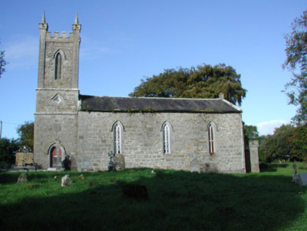 Liss Church (Lemanaghan)Church/chapel · 1734 yd
Explorer Tom Liss Church (Lemanaghan) in Grogan And Corroe is secretly proud of that one potato growing out of its graveyard wall.…
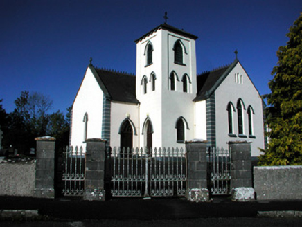 Saint Manchin's Catholic ChurchChurch/chapel · 1.3 mi
Explorer Tom Saint Manchin's Catholic Church in Parkaree Or Boherfadda is dodging a prophecy that it'd explode in 1930. It didn't…
 Boher CemeteryCemetery · 1.3 mi
Explorer Tom Boher Cemetery in County Offaly is where the local sheep have strong opinions about who gets to graze near which…
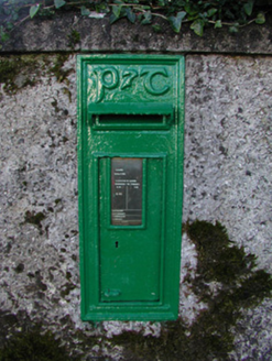 post box1.4 mi
Explorer Tom Post box in Castletown is standing opposite the church, acting like it’s the main attraction of the day. It’s got a…
 Earthwork in EskerEarthwork · 4.5 mi
Explorer Tom Esker Earthwork is a sixty-metre ditch that failed its job interview because it couldn't hold eye contact with the…
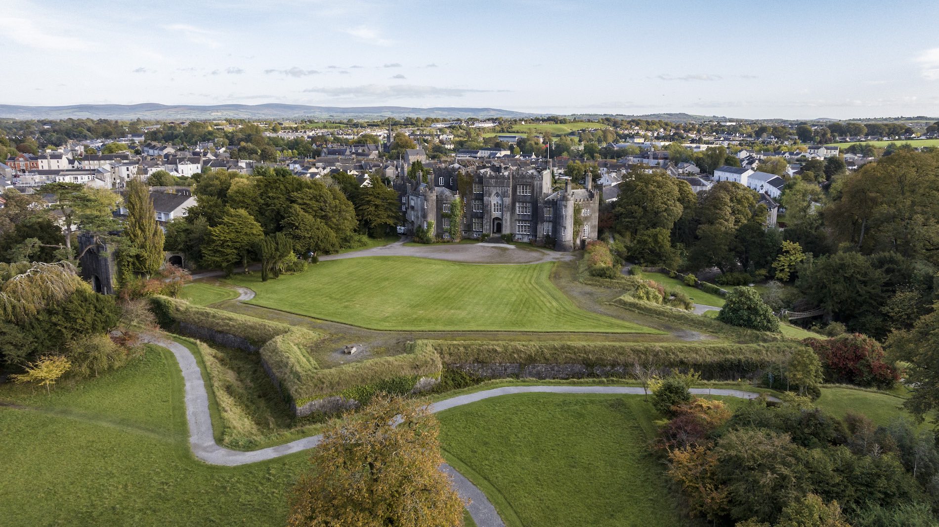 Togher CastleCastle, tower house · 4.5 mi
Explorer Tom Togher Castle in Lackagh More used to be called a monastery until someone decided that sounded less impressive, so they…
 Esker CastleCastle, tower house · 4.5 mi
Explorer Tom Esker Castle in County Offaly had a prophecy that it would one day be covered in trees, and look, it has. It sits at…
More archaeology and monuments in County Offaly · All of County Offaly

What do you know about this place?Tap to add a comment or ask a question