
What is recorded here
A well within the walled town of Kilmallock (LI047-022---) was excavated by John O'Connor under licence No. 99E0215 on the 'Sarsfield Street' part of the Urban Renewal Scheme's monitoring work; all other features in this section are covered by LI047-022044-. The well was described by O'Connor as following; 'On 31st…
Read the whole record
From the National Monuments Service (Archaeological Survey of Ireland) record LI047-022043
Places near here
Photo credits
- National Inventory of Architectural Heritage
- Visualising Heritage, Geograph · CC BY-SA 2.0
- The Speckled Bird, Wikimedia Commons · CC BY-SA 4.0
- Munster GAA Post Primary Schools; individual photographer not named, munster.gaa.ie
- Maker not stated on source page, www.goirishtours.com
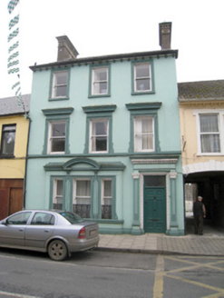 Historic buildingOfficially recorded historic building · 56 yd
Explorer Tom This historic building on Sarsfield Street is having a bit of a diva moment with its rendered dressings. It insists its…
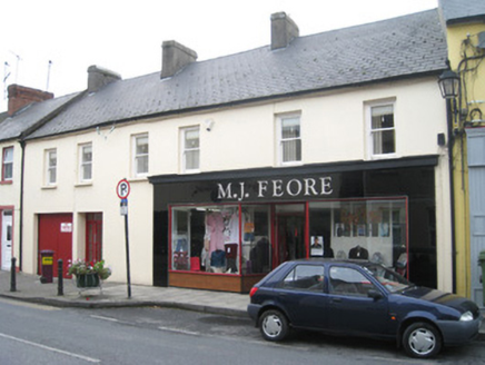 M.j. FeoreHouse · 81 yd
Explorer Tom M.j. Feore has a curse that only affects people who don’t wave at its bakelite shopfront. It’s rare in Ireland now and…
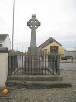 1798 MonumentMonument · 157 yd
Explorer Tom The 1798 Monument in Kilmallock claims a giant once threw a shoe at it during the rebellion. The cast-iron railings are…
 Ivy CottageHouse · 165 yd
Explorer Tom Ivy Cottage in Kilmallock is where a priest lost a bet and never recovered. The ivy grows thick because he was too…
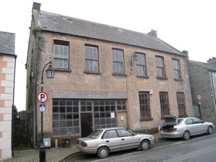 school168 yd
Explorer Tom The school in Kilmallock is detached from the street, which makes it feel like a diva. A cow once tried to buy it with…
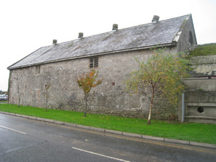 creamery171 yd
Explorer Tom Creamery in Kilmallock is standing there like a dairy queen who forgot to crown herself, still smelling faintly of…
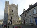 King John's CastleCastle · 175 yd
Explorer Tom King John's Castle in County Limerick would tell you a secret after a few pints, probably that King John actually built…
 Kings CastleCastle, tower house · 175 yd
Explorer Tom Kings Castle got its name wrong because map makers were drunk, which is my theory anyway. It’s been Queen, King, and…
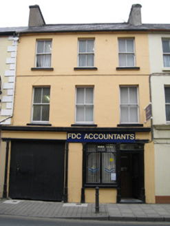 public house207 yd
Explorer Tom The public house in Kilmallock had a fiddler who played until the cows came home, then kept going. The slate roof is…
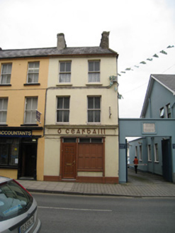 Ó CearbhaillHouse · 213 yd
Explorer Tom Ó Cearbhaill has a ghost who is far too lazy to actually haunt the place properly. It’s a classic, sash-windowed beauty…
 Kilmallock GAA pitchGAA ground · 300 yd
 Site of Castle CooteHouse, 17th/18th century · 572 yd
Explorer Tom Site of Castle Coote is playing hide-and-seek with me. A tale from 1846 says an earl built it, but there was no trace…
More archaeology and monuments in County Limerick · All of County Limerick

What do you know about this place?Tap to add a comment or ask a question