What is recorded here
Healy (1874-9, 44) describes, 'a well by the road side, under this church which entirely overflowed a large circular space around it. In less than two hours after I had noticed it perfectly dried up. The people call it Briagoyne, and probably this was the "holy well" of St. Daranus'. According to Carrigan (1905, vol. 2, 372), 'On the road-side, under the north-east corner of the church there is a well callled "Brae-ag-ogue" (breugóg), or the deceptive, because, though oftentimes full of water, it is perfectly dry just as often'. The well, though not indicated as such, is depicted on the 1st (1839) ed. OS 6-inch map as a roughly semi-circular area (dims. c. 16m N-S; c. 12m E-W) extending southward from the road N of the church, on the SW side of a crossroads. On the 1900 revision a 'P' indicates that a water pump has been erected there and a pump was still at this location in 1987 (ASI report, 3 November 1987). Despite Healy's reference, there is no convincing evidence that this was a holy well.
Compiled by: Jean Farrelly
Date of upload: 15 June 2019
The monument record does not grant public access. Check the route and ask the landowner before entering private land.
- What survives
- Recorded monument
Places near here
 Enclosure in KildrinaghEnclosure · 364 yd
 Enclosure in CraddockstownEnclosure · 781 yd
 Kildrinagh WoodForest · 1150 yd
 CastleCastle, tower house · 1436 yd
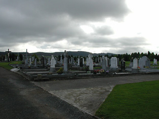 Saint Patrick's Catholic Churchgraveyard/cemetery · 1503 yd
 Killahy Castle in ruinsCastle, unclassified · 1.1 mi
 rectory/glebe/vicarage/curate's houserectory/glebe/vicarage/curate's house · 1.1 mi
 Four Acre WoodForest · 2.2 mi
 Kilcooly AbbeyHeritage attraction · 3.1 mi
 Clomantagh HillMountain / peak · 3.5 mi
 Bregaun HillMountain / peak · 4.4 mi
 John HelyMemorial · 4.5 mi