What is recorded here
In the 1930s a well known as 'Tubbersigh' was described by Capt. D. B. O'Connell as a 'shallow sandy basin surrounded by flat stones' but which appeared to have 'no traditional history' (SMR file). 'Tobarsidhe (The Fairy Well)' was also recorded in the 1940s at the base of a 'great steep-sided' mound, on the 'lands of Mrs. McCarthy' (ITA). This well has not been precisely located and there is no known documentary evidence to confirm that it was a holy well.
Compiled by: Elizabeth Byrne, Ursula Egan and Sheila Ronan, Archaeological Survey Unit, University College, Cork.
Date of upload: 31 January 2011
The monument record does not grant public access. Check the route and ask the landowner before entering private land.
- What survives
- Recorded monument
Places near here
 Catholic Church of Christ Prince of Peacechurch/chapel · 225 yd
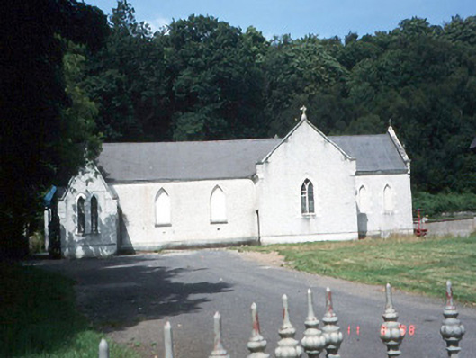 Saint Lelia's Catholic Churchchurch/chapel · 360 yd
 Fulacht FianFulacht fia · 690 yd
 Enclosure in Dromin (magunihy By., Lahard Ed)Enclosure · 838 yd
 Parkavonear CastleCastle · 1.2 mi
 Aghadoe Early Medieval Ecclesiastical SiteHeritage attraction · 1.2 mi
 Rabbit or Brown IslandIslet · 1.4 mi
 Lamb IslandIsland · 1.7 mi
 European YewEuropean Yew · 1.9 mi
 English hollyEnglish holly · 1.9 mi
 Castle (in Ruins)Castle, tower house · 2.0 mi
 O'Sullivan's CascadeWaterfall · 2.1 mi