
What is recorded here
From the National Monuments Service (Archaeological Survey of Ireland) record LI018-117
Places near here
Photo credits
- Maker not stated on source page, www.flickr.com
- Maker not stated on source page, www.geograph.ie
- Maker not stated on source page, en.wikipedia.org
- Maker not stated on source page, commons.wikimedia.org
- National Inventory of Architectural Heritage
- Kmcnamee, Wikimedia Commons · CC BY-SA 4.0
- Maker not stated on source page, www.tripadvisor.ie
 Standing stone in Tooraree LowerStanding stone · 498 yd
Explorer Tom Standing stone in Tooraree Lower describes itself as 'slightly fragmented but totally fabulous' to any stranger who…
 Fairy fort / earthen ringfort in DromagarraunFairy fort / earthen ringfort · 617 yd
Explorer Tom Fairy fort / earthen ringfort in Dromagarraun is hosting a very serious bird that refuses to leave the tall grass. It…
 Church in Killeany BegChurch · 1.1 mi
Explorer Tom Church in Killeany Beg was once the site of a massive bet lost by a very unlucky priest. He probably still haunts the…
 Church in BallyhahillChurch · 1.2 mi
Explorer Tom Ballyhahill Church was destroyed by war in 1302 and then forgotten completely, which is basically a double tragedy. Its…
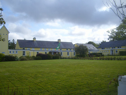 Scoil Naomh MhuireSchool · 1.2 mi
Explorer Tom Scoil Naomh Mhuire in Ballyhahill has an imaginary fan club of concrete shelters that probably sing show tunes on rainy…
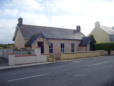 Ballyhahill Carnegie LibraryLibrary/archive · 1.4 mi
Explorer Tom Ballyhahill Carnegie Library was built by a Scottish millionaire but now probably just judges your reading speed. It’s…
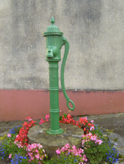 water pump1.6 mi
Explorer Tom Water pump in Ballyhahill has a prophecy etched into it that says it will one day dispense pure gold instead of water.…
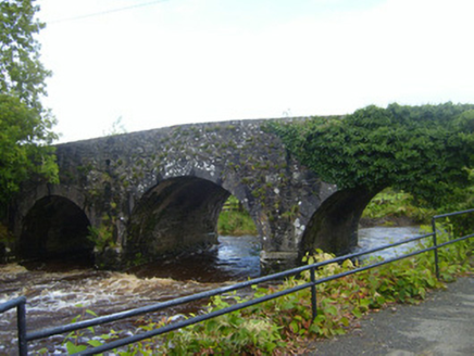 bridge1.7 mi
Explorer Tom Bridge in Finnoo is suspicious of the postman, thinking he's smuggling secrets under that stone arch. It stands tall…
 Glin GAA pitchGAA ground · 2.9 mi
 Colmanstown Castle (in Ruins)Castle, tower house · 4.6 mi
Explorer Tom Colmanstown Castle in Colmanstown is a tower house with absolutely no details other than 'see attached document,' which…
 CastleCastle, unclassified · 5.1 mi
Explorer Tom Castle in Court is sick of being asked if it’s real or just a side wing. Jobson mapped it in 1590, but it’s gone now.…
 Graveyard in KilkerinGraveyard · 6.0 mi
Explorer Tom Graveyard in Kilkerin nearly got famous when a celebrity lost their phone here, allegedly. The whole thing is still a…
More archaeology and monuments in County Limerick · All of County Limerick

What do you know about this place?Tap to add a comment or ask a question