What is recorded here
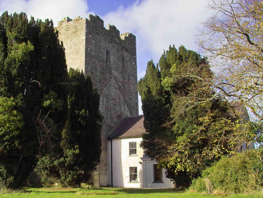
Indicated on the 25-inch OS map immediately W of Clomantagh tower house (KK013-002003-) and annotated 'Pump'. At the foot of the base-batter of the tower house there is a deep circular stone-lined well (int. diam. 1.25m; D c. 25m), set within a walled circular enclosure (diam. 2.85m). It is likely to be contemporary with the 16th-century tower house.
See attached photographs:
KK013-002004-_01 Viewed from the NW with adjacent tower house (KK013-002001-)
KK013-002004-_02 Viewed from the N with NW angle of adjacent tower house (KK013-002001-) and bawn (KK013-002002-) to rear
Compiled by: Jean Farrelly
Date of upload: 22 July 2019
The monument record does not grant public access. Check the route and ask the landowner before entering private land.
- What survives
- Recorded monument
Places near here
 Sheela-na-gig in Clomantagh LowerSheela-na-gig · 6 yd
 CastleCastle, tower house · 8 yd
 farm housefarm house · 40 yd
 Clomantagh Church (in ruins)Church · 152 yd
 Fairy fort / earthen ringfort in Clomantagh LowerFairy fort / earthen ringfort · 261 yd
 Tubbrid Castle (in ruins)Castle, tower house · 1732 yd
 Clomantagh HillMountain / peak · 1.4 mi
 Kildrinagh WoodForest · 2.2 mi
 John HelyMemorial · 3.2 mi
 DelaneyMemorial · 3.4 mi
 Street fieldArchaeological place · 4.4 mi
 Anker's IslandIsland · 8.1 mi