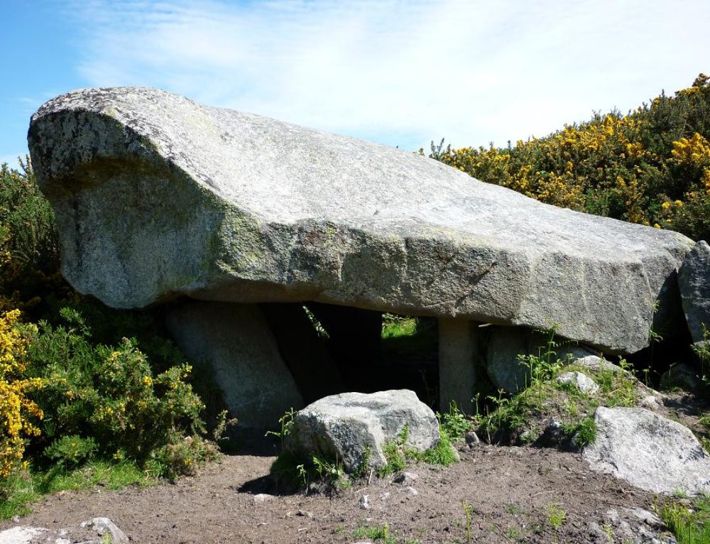
What is recorded here
A lintelled passage in the middle of a field forms the approach to a stone covered well known as O'Grady's Well (NMI:1962). Thought to be medieval in date.
Compiled by: Geraldine Stout and Padraig Clancy
Revised upload on: 28 July 2018
The monument record does not grant public access. Check the route and ask the landowner before entering private land.
- What survives
- Recorded monument
Places near here
 Enclosure in WoodsideEnclosure · 118 yd
 Woodside Ho.House, 16th/17th century · 425 yd
 Saint Mary's National Schoolschool · 552 yd
 Explorium: National Sport and Science CentreMuseum · 802 yd
 Fitzsimon's WoodNature reserve · 837 yd
 Pit-burial in KilgobbinPit-burial · 959 yd
 Native WoodlandWood · 991 yd
 Telshaun HillMountain / peak · 1639 yd
 Three Rock MountainMountain / peak · 1680 yd
 Dublin Mountains WayWalking route · 1.0 mi
 Murphystown Castle (in ruins)Castle, tower house · 1.1 mi
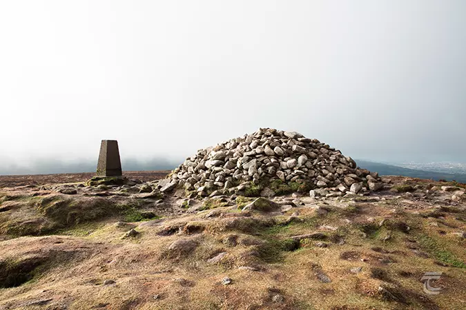 Ticknock - Fairy Castle LoopWalking route · 1.2 mi
Other information
Photo: Credit not shown in the picture search · Rights wording not checked; contact us if this picture should be removed