What is recorded here
Situated in a valley bottom, with a small N-S stream c. 130m to the W. There is a well encroaching on the perimeter of rath (WX011-001001-) at S. It is a natural spring surrounded with some stones but while it was known in the folk tradition it was not regarded as a holy well (IFC: Schools’ Collection, vol. 889, 123).
Compiled by: Michael Moore
Date of upload: 11 April, 2012
Amended: 11 June 2020
The monument record does not grant public access. Check the route and ask the landowner before entering private land.
- What survives
- Recorded monument
Places near here
 IndicatedFairy fort / earthen ringfort · 35 yd
 Rossminoge Church (in ruins)Church · 1066 yd
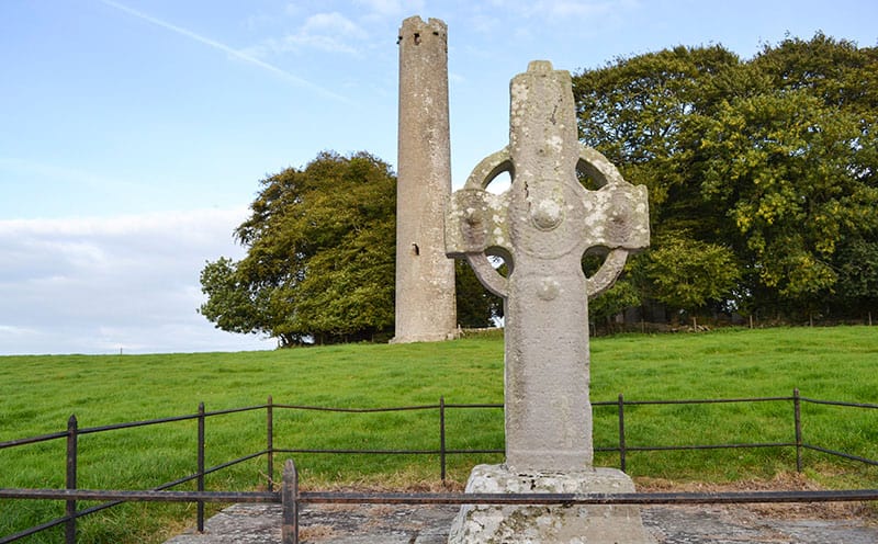 CrossCross, High cross · 1067 yd
 Saint Patrick's Catholic Churchpresbytery/parochial/curate's house · 1.5 mi
 SlievegowerMountain / peak · 1.5 mi
 Saint Brigid's WellSpring · 1.9 mi
 Blue SchoolMemorial · 2.4 mi
 Camolin WoodForest · 2.5 mi
 Craan HillMountain / peak · 2.9 mi
 Mountnebo WoodForest · 3.7 mi
 1798 MonumentMemorial · 4.9 mi
 Ferns Castle (in ruins)Castle, Anglo-Norman masonry castle · 6.2 mi