What is recorded here
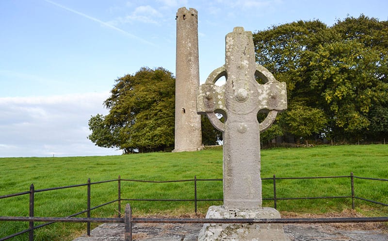
Located on a gentle E-facing slope. The parish church of Rossminoge (WX011-002001) is within a rectangular graveyard (WX011-002002-) defined by an earthen bank, which has a fosse or ditch (Wth of top 5.5m; D 0.8m) inside it on the SE side. In the SW corner of graveyard is the ringed but unpierced and undecorated head of a large granite high cross (H 0.93m; Wth 0.84m; T c. 0.1m), but one of the arms is missing. It is standing upright in the socket of a granite base (dims 0.56m x 0.4m; H 0.25m plus).
Compiled by: Michael Moore
Date of upload: 11 April, 2012
A local church or high cross; wider significance not recorded.
The monument record does not grant public access. Check the route and ask the landowner before entering private land.
- What survives
- Recorded monument
Places near here
 Rossminoge Church (in ruins)Church · 21 yd
 IndicatedFairy fort / earthen ringfort · 1090 yd
 Saint Patrick's Catholic Churchpresbytery/parochial/curate's house · 1.3 mi
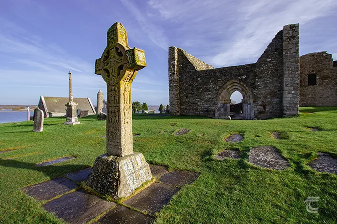 Monastery (Site of)Ecclesiastical site · 1.7 mi
 SlievegowerMountain / peak · 2.1 mi
 Saint Brigid's WellSpring · 2.4 mi
 Camolin WoodForest · 2.6 mi
 Craan HillMountain / peak · 3.0 mi
 Blue SchoolMemorial · 3.0 mi
 Mountnebo WoodForest · 3.6 mi
 1798 MonumentMemorial · 4.3 mi
 Market HouseHeritage attraction · 4.7 mi
Other information
Photo: Credit not shown in the picture search · Rights wording not checked; contact us if this picture should be removed