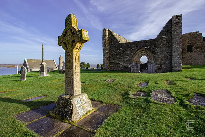
What is recorded here
Marked as the site of a monastery only on the 1940 ed. of the OS 6-inch map on the basis of local tradition, but nothing is known of its nature (OSFM). The townland name Clonamona is derived from Cluain na Manach – the meadow of the monks – and is recorded from 1594, confirming an ecclesiastical connection (Pers. com. Conchubhar Ó Crualaoich). It is situated in a fold towards the bottom of an E-facing slope with the NW-SE River Lask c. 450m to the NE. There is a well (diam. 1.4m) with drystone-walling (H 1.2m) in an overgrown area, but there is no evidence that it was venerated.
The above description is derived from the published 'Archaeological Inventory of County Wexford' (Dublin: Stationery Office, 1996). In certain instances the entries have been revised and updated in the light of recent research.
Compiled by: Michael Moore
Date of upload/revision: 21 November, 2012
Amended: 16 July, 2014
The monument record does not grant public access. Check the route and ask the landowner before entering private land.
- What survives
- Recorded monument
Places near here
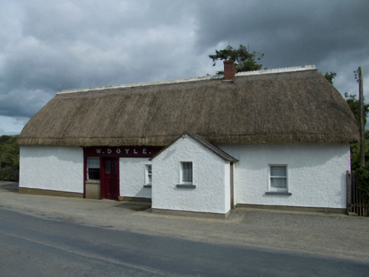 W. Doylehouse · 1262 yd
 Saint Patrick's Catholic Churchpresbytery/parochial/curate's house · 1332 yd
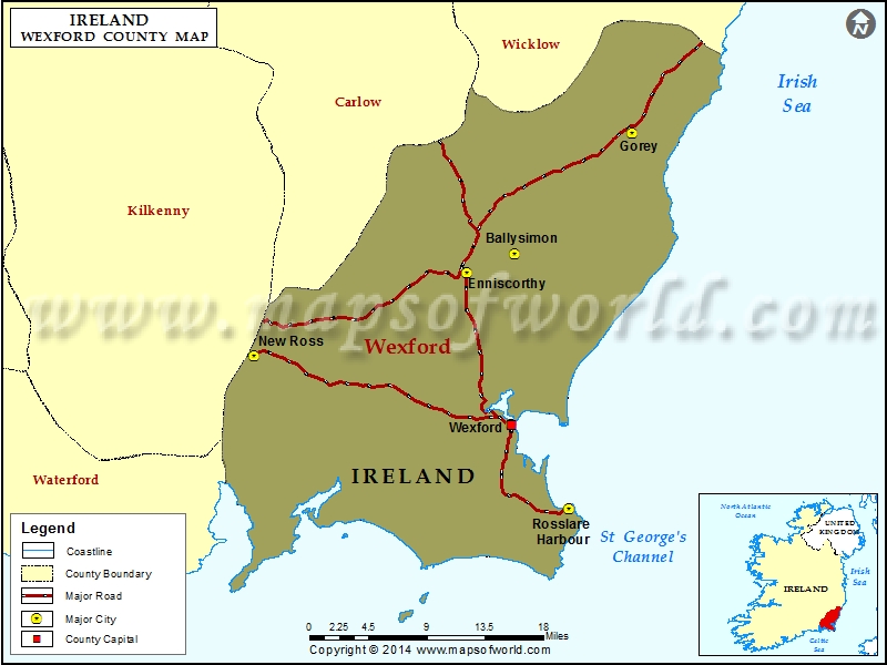 IndicatedFairy fort / ringfort · 1566 yd
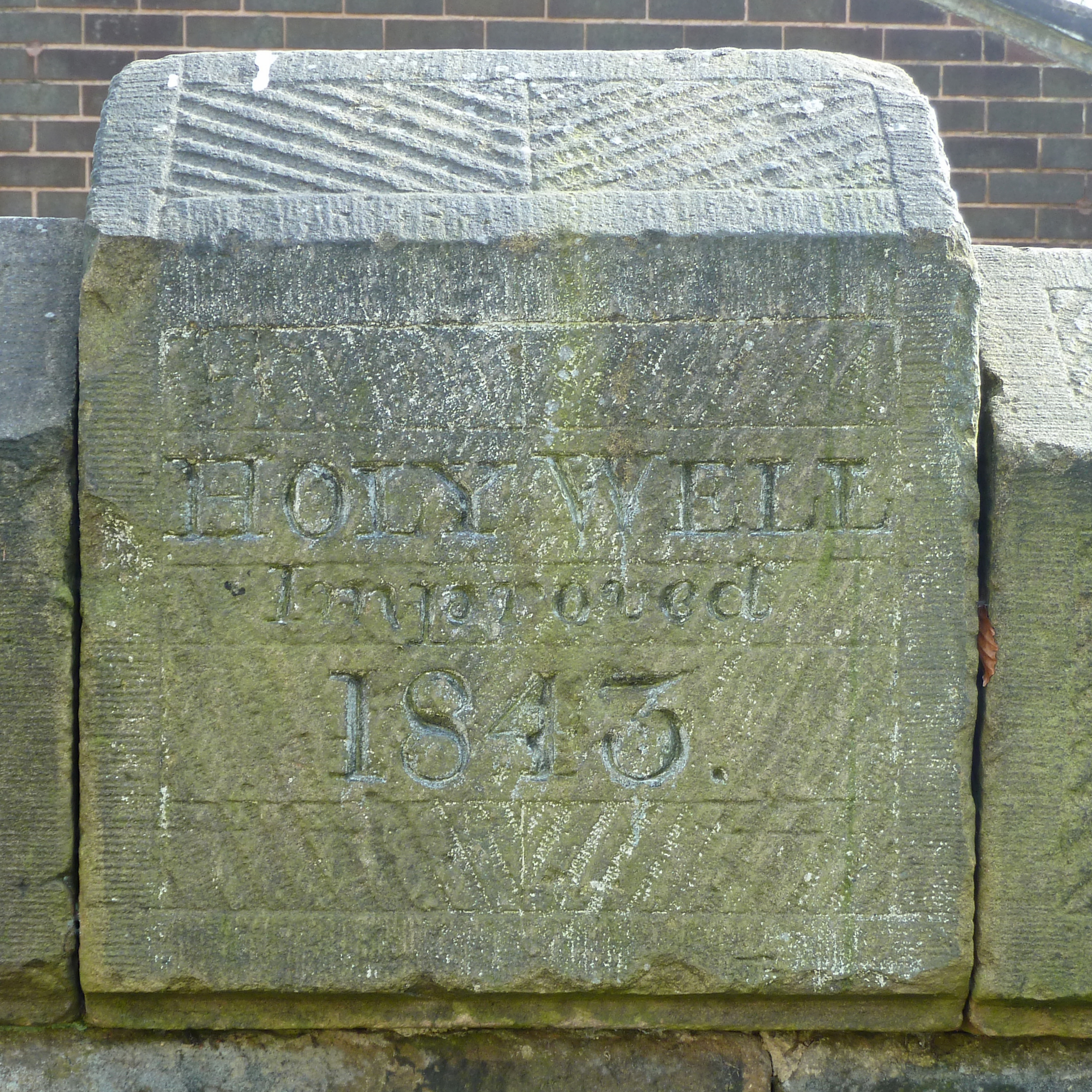 Holy Well (covd.)Holy well · 1.1 mi
 Craan HillMountain / peak · 1.3 mi
 Saint Brigid's WellSpring · 1.8 mi
 Kilmichael HillMountain / peak · 1.8 mi
 Mountnebo WoodForest · 2.1 mi
 Blue SchoolMemorial · 3.0 mi
 Ballingarry WoodForest · 3.0 mi
 1798 MonumentMemorial · 4.3 mi
 Market HouseHeritage attraction · 4.6 mi
Other information
Photo: Credit not shown in the picture search · Rights wording not checked; contact us if this picture should be removed