
What is recorded here
Situated in a valley bottom, with a small N-S stream c. 130m to the W. This is an oval grass and scrub-covered area (dims 57m NW–SE; 50m NE–SW) defined by an overgrown earthen bank (Wth c. 3m; H 0.3-0.4m), with an outer fosse (Wth 3m; D 0.6m) NW–E-S. There is no visible entrance. There is a cairn (diam. 2.5m; H 0.2m) with quartz stones just N of the centre but there is no evidence of any structure. It is known locally as ‘the Churchyard’ or the ‘Old Graveyard and there are said to have been burials there c. 200 years ago (IFC: Schools Collection, vol. 889, 133) but there is no physical evidence of this. There is a well encroaching on the perimeter at S.
The above description is derived from the published 'Archaeological Inventory of County Wexford' (Dublin: Stationery Office, 1996). In certain instances the entries have been revised and updated in the light of recent research.
Compiled by: Michael Moore
Date of upload/revision: 11 April, 2012
Amended: 12 Sep. 2013; 12 May, 2014, 11 June 2020
A local fairy fort (ringfort/rath); wider significance not recorded.
The monument record does not grant public access. Check the route and ask the landowner before entering private land.
- What survives
- Recorded monument
Places near here
 Rossminoge Church (in ruins)Church · 1089 yd
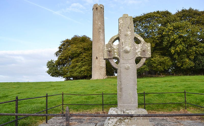 CrossCross, High cross · 1090 yd
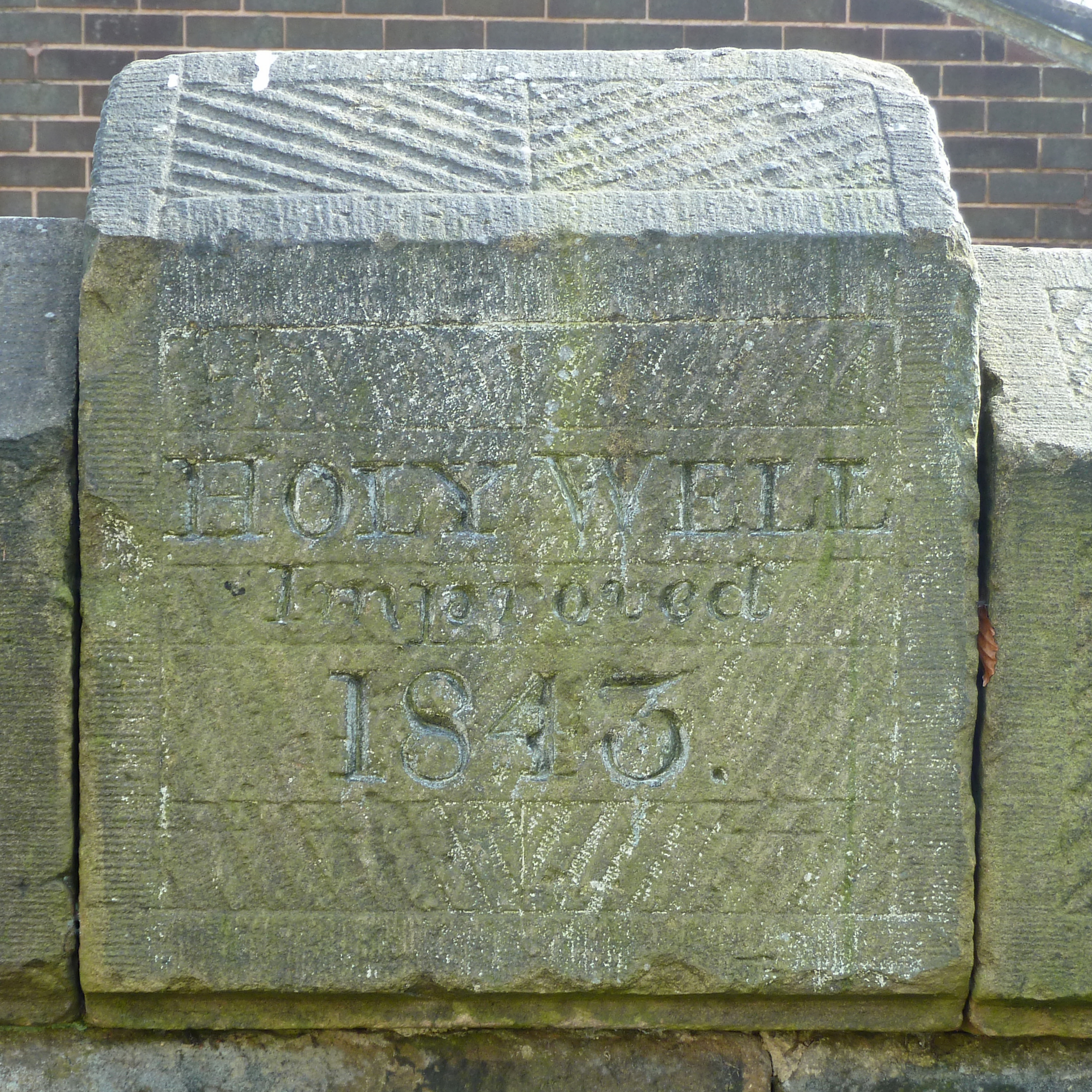 Holy Well (covd.)Holy well · 1.4 mi
 Saint Patrick's Catholic Churchpresbytery/parochial/curate's house · 1.5 mi
 SlievegowerMountain / peak · 1.5 mi
 Saint Brigid's WellSpring · 1.9 mi
 Blue SchoolMemorial · 2.4 mi
 Camolin WoodForest · 2.5 mi
 Craan HillMountain / peak · 2.9 mi
 Mountnebo WoodForest · 3.7 mi
 1798 MonumentMemorial · 4.9 mi
 Ferns Castle (in ruins)Castle, Anglo-Norman masonry castle · 6.2 mi
Other information
Photo: Credit not shown in the picture search · Rights wording not checked; contact us if this picture should be removed