What is recorded here
Situated on the N-S Cloone River. A weir on the river is marked on a map of 1750 in NLI (14 A 16) at this point. No trace of this could be found.
Compiled by Caimin O'Brien
Date of upload: 18 October 2010
Amended; 9 December 2019
The monument record does not grant public access. Check the route and ask the landowner before entering private land.
- What survives
- Recorded monument
Places near here
 Giant's GraveArchaeological place · 1065 yd
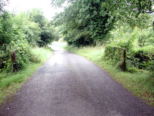 Lough Rynn Housebridge · 1.3 mi
 Little IslandIslet · 1.4 mi
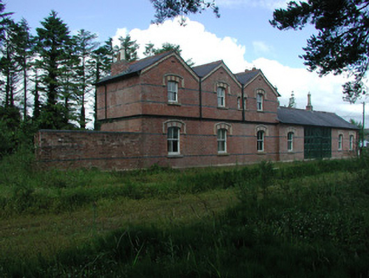 Mohill Railway Stationrailway station · 1.4 mi
 Duck IslandIslet · 1.4 mi
 Turlough O'Carolan MonumentHeritage attraction · 1.6 mi
 Ch. on site of AbbeyChurch · 1.6 mi
 Tober RonanHoly well · 1.6 mi
 Lawson's CypressLawson's Cypress · 1.8 mi
 TuliptreeTuliptree · 1.8 mi
 CastleCastle, tower house · 2.0 mi
 OratoryCastle, tower house · 3.1 mi