What is recorded here
Situated on level pasture spanning a S-N section of the meandering Black River, c. 500m from where it meets the N-S Rinn River further W. A footbridge and weir are marked at this location on an estate map (Wogan 1750, 31). There is no evidence of a weir in the river, which is now in a narrow channel and there is no local knowledge of such a structure.
Compiled by: Michael Moore
Date of upload: 18 October 2010
Amended: 7 January 2020
The monument record does not grant public access. Check the route and ask the landowner before entering private land.
- What survives
- Recorded monument
Places near here
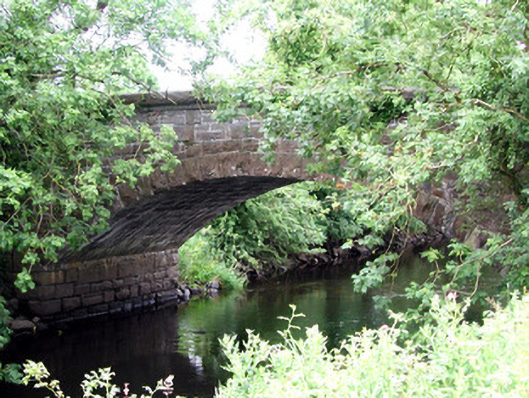 Johnston's Bridgebridge · 1.0 mi
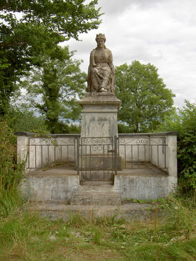 monumentmonument · 1.1 mi
 IndicatedFairy fort / earthen ringfort · 1.1 mi
 Grave YardGraveyard · 1.9 mi
 Derrinch IslandIslet · 2.4 mi
 OratoryCastle, tower house · 2.6 mi
 Native Woodland Trust: Farnaght ReserveWood · 3.0 mi
 Pigeon IslandIslet · 3.4 mi
 Cavan & Leitrim RailwayMuseum · 3.5 mi
 CastleCastle, unclassified · 3.8 mi
 Holm OakHolm Oak · 3.9 mi
 St. Barry's WellSpring · 4.8 mi